Detailed Itinerary
Padre: Adventure and Exploration on a Vanishing Barrier Island
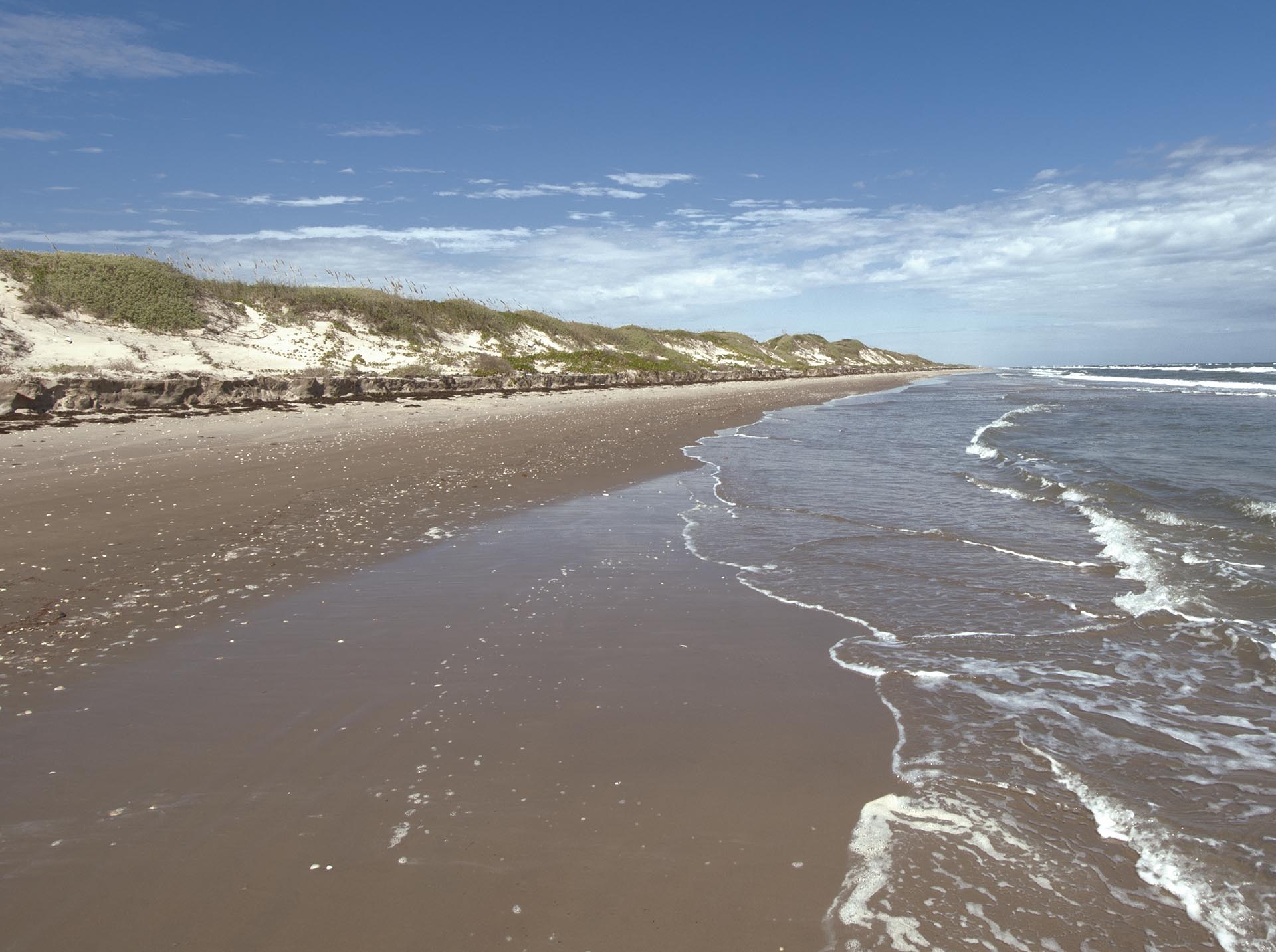
Day trips include part of (or all of) either the Padre Island National Seashore or South Padre Island. Overnight tours can include either or both depending on length. Detailed itineraries are presented below for Padre Island National Seashore (North), South Padre Island or both. Day trips start early and end late unless you are on a schedule or we just want to make it back to town for some seafood.
Padre Island National Seashore –The Northern 60 Miles
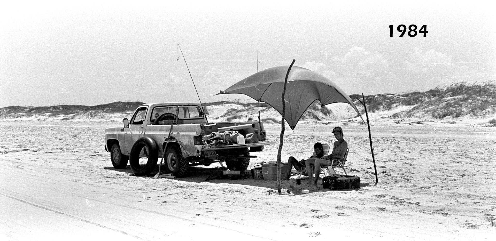
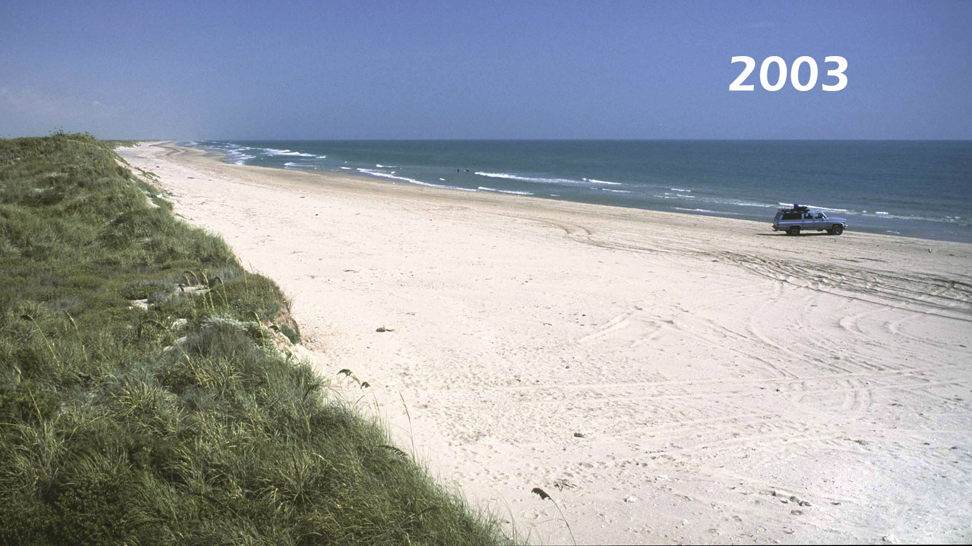
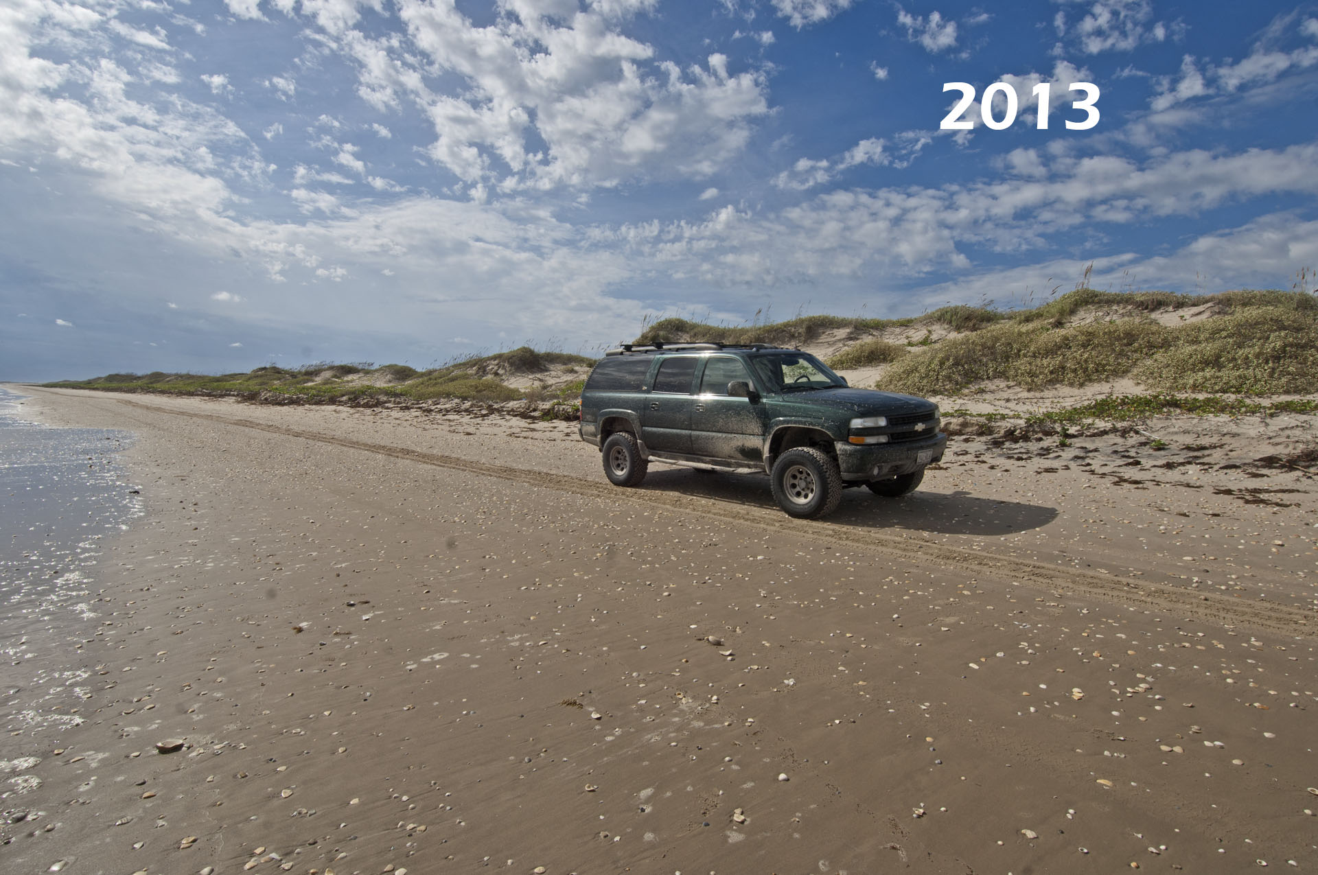
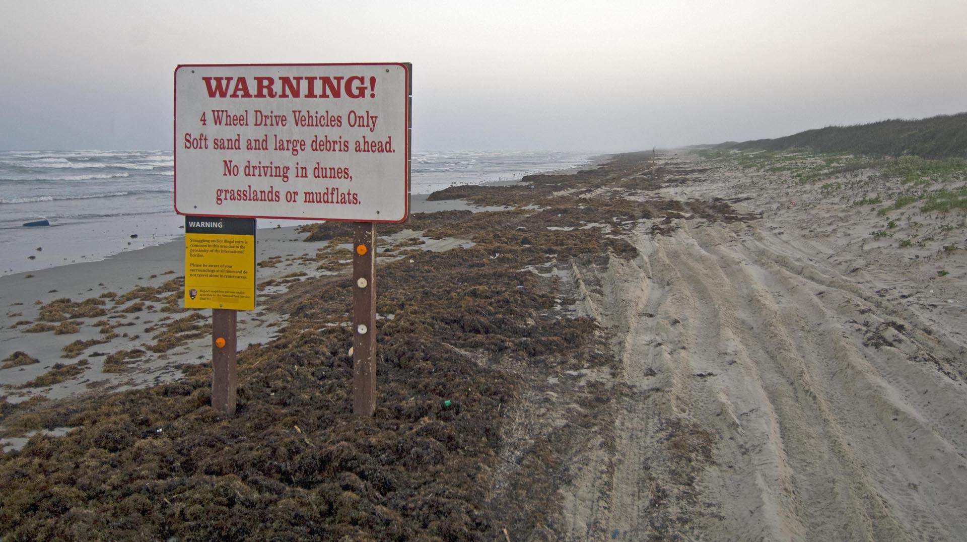
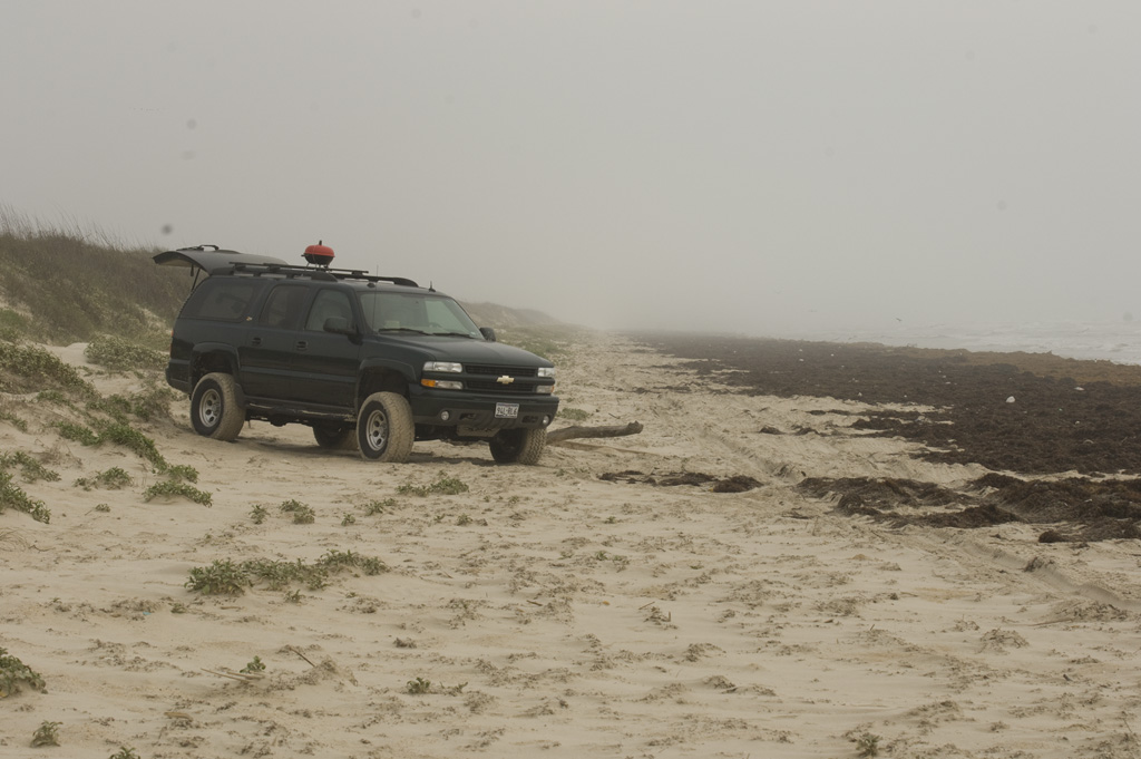
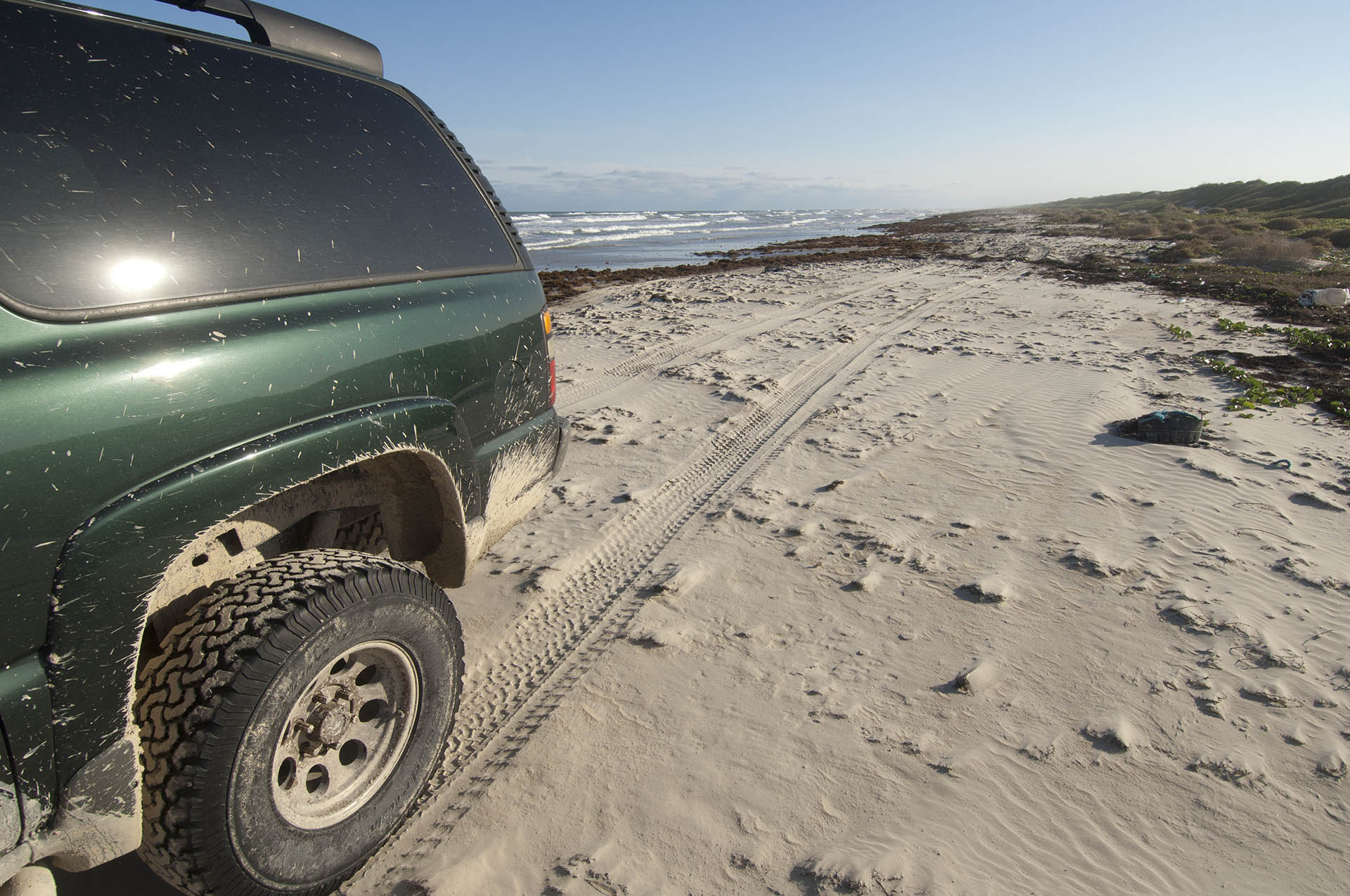
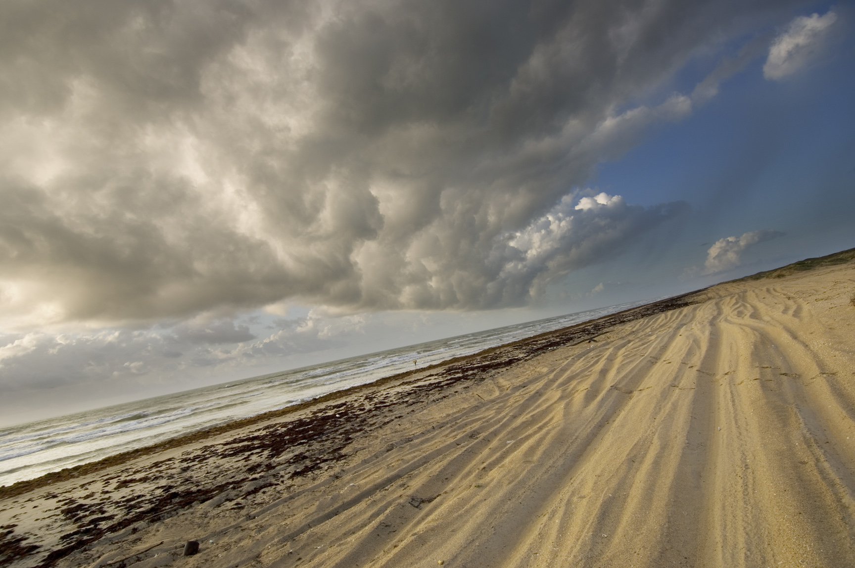
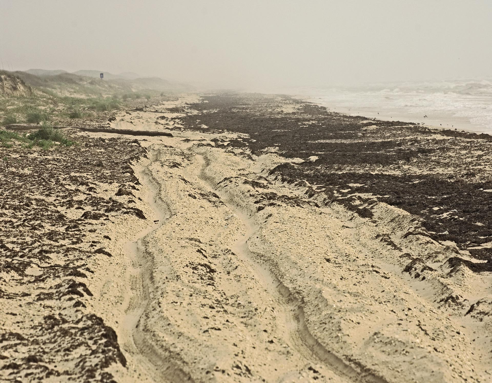
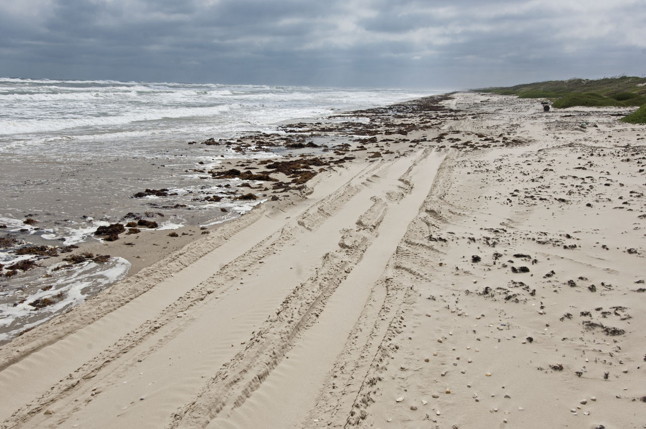
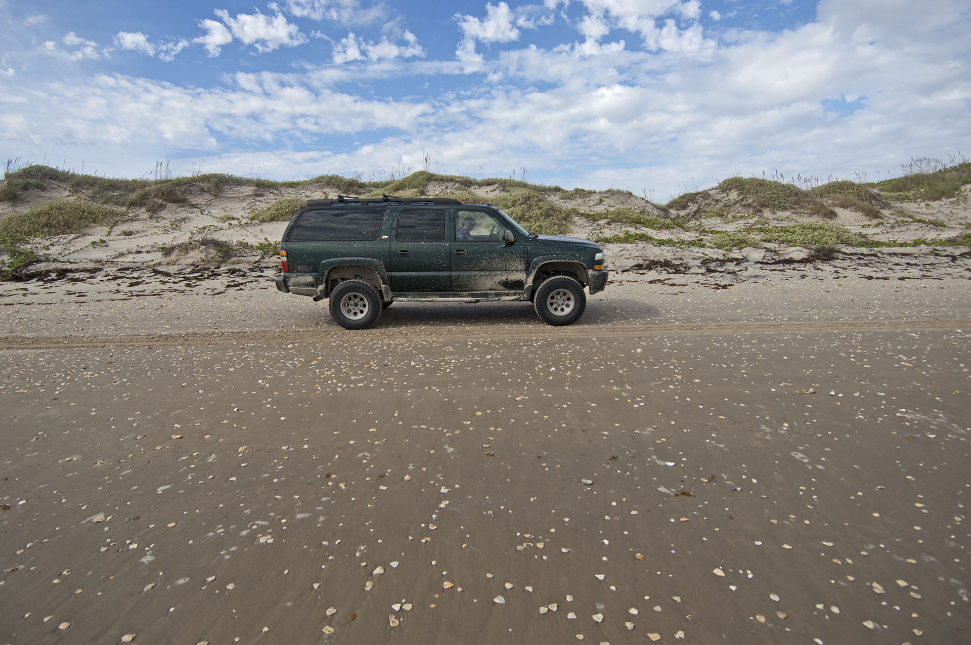
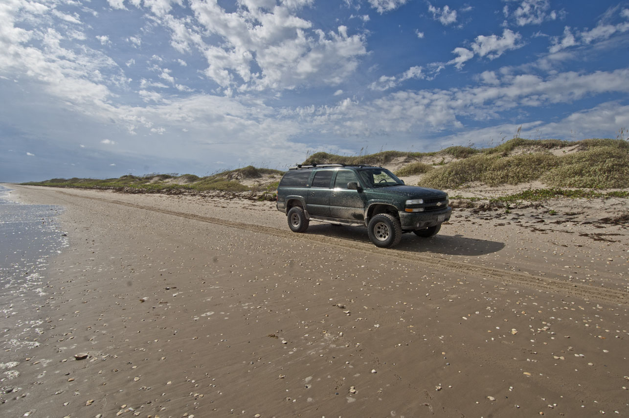
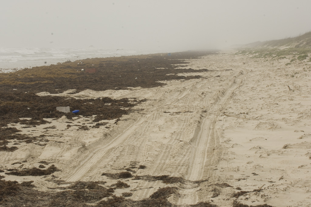
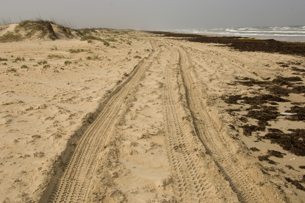
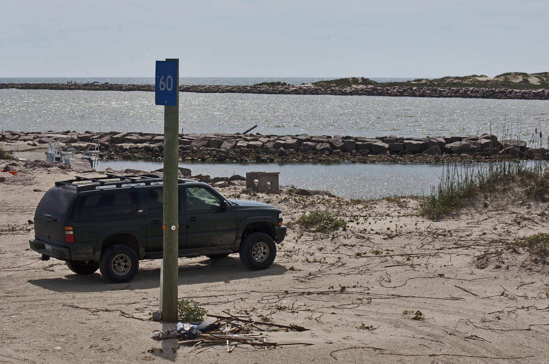
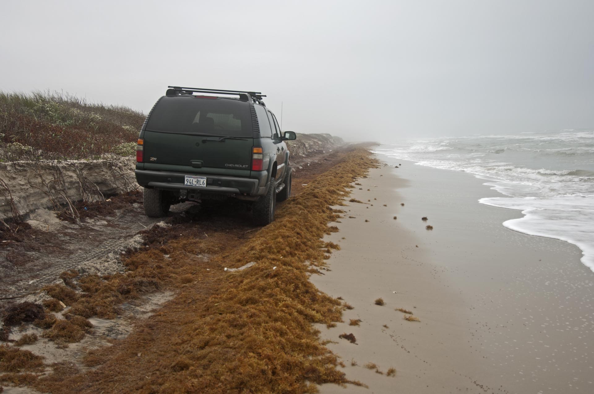
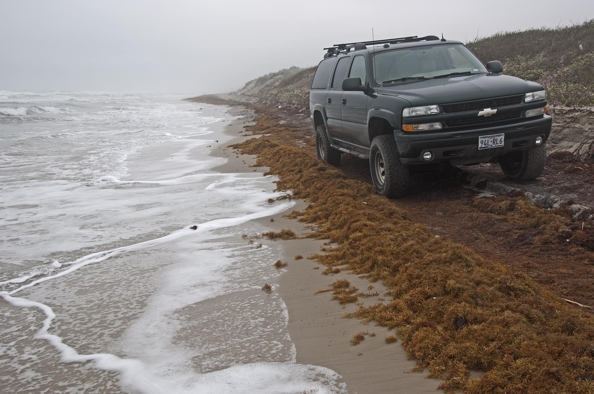
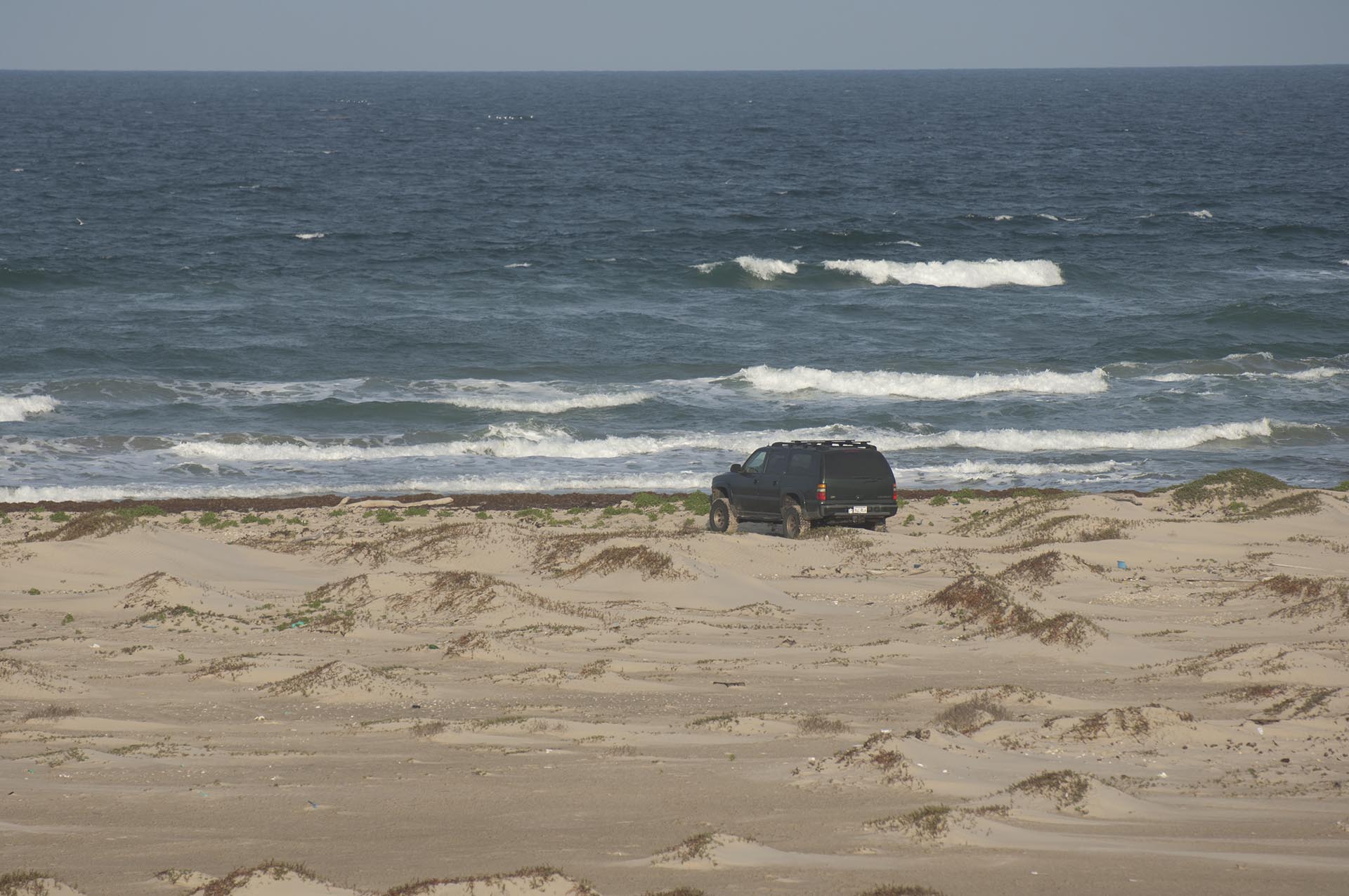
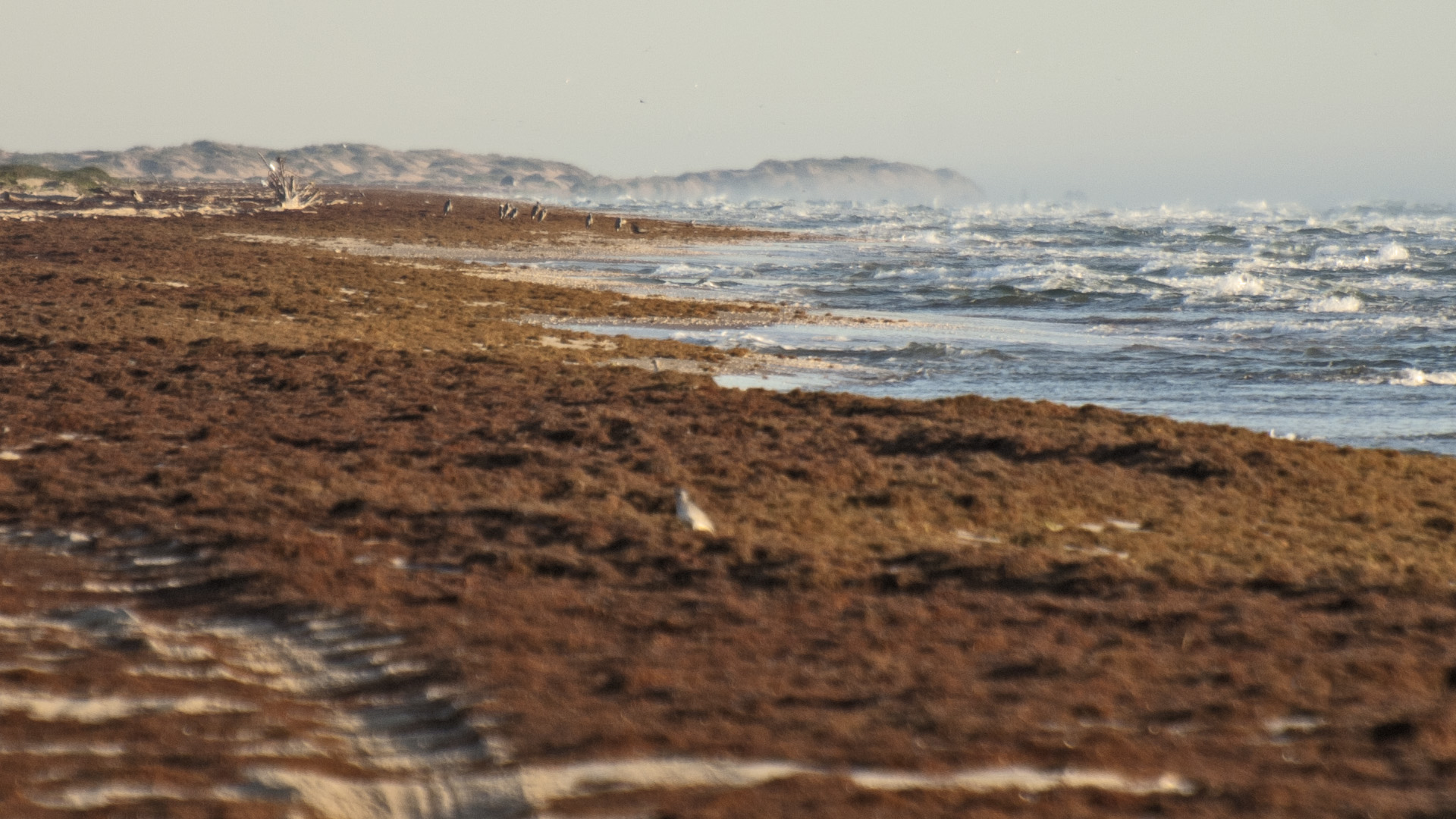
After a good breakfast we fuel up and top off ice chest before heading onto the Padre Island National Seashore. Our first stop is the four-wheel drive only sign at Mile 5 beyond the end of pavement. After a little orientation and history we are off down the beach. Depending on the tides, it may be fast and smooth or slow and grueling. When the tide is out, the sand is packed and fast, when it is dry and the tide is up, it is deep and slow.
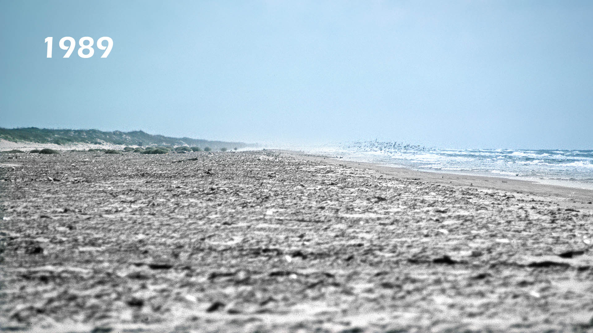
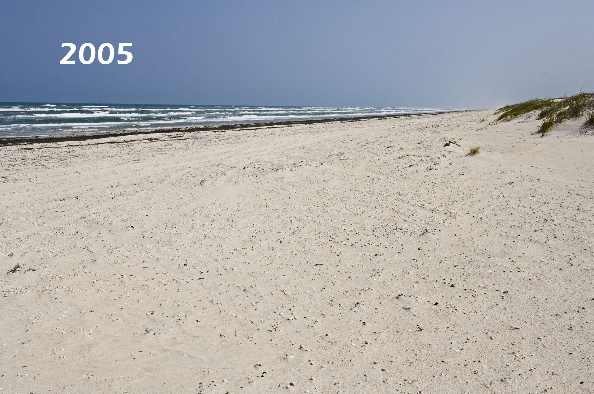
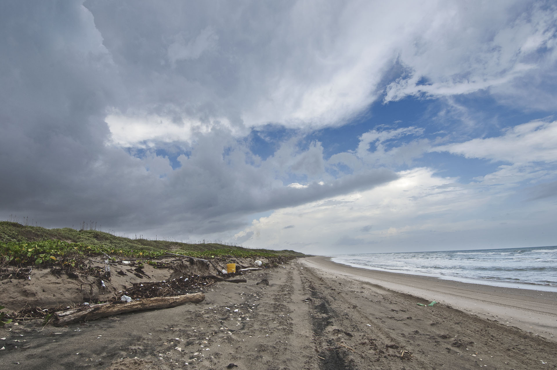
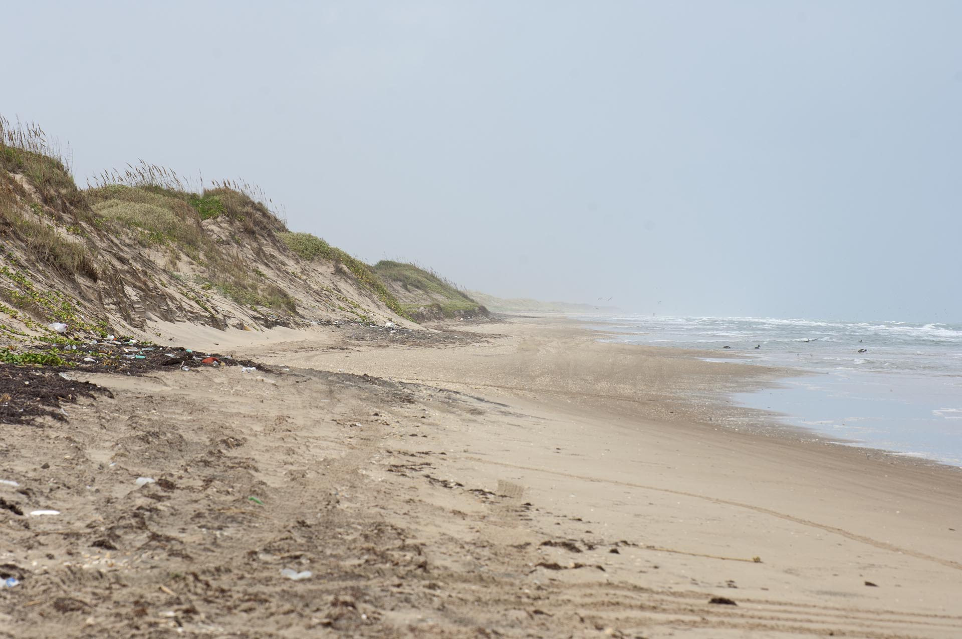
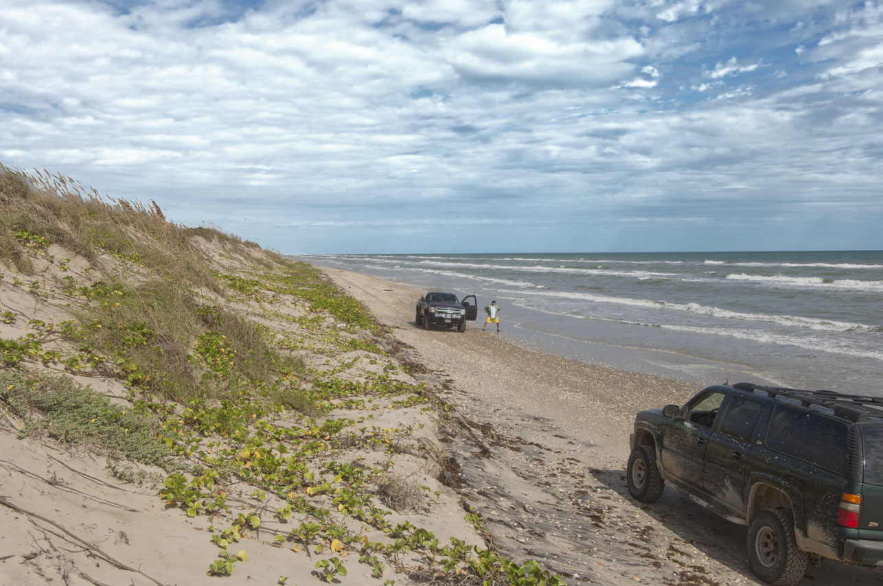
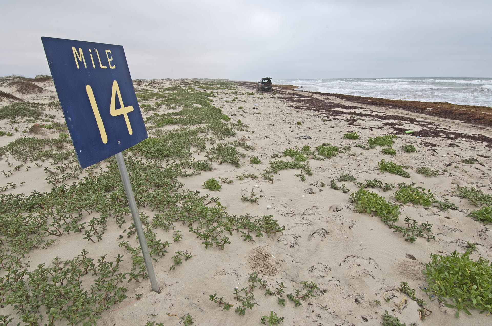
As we travel down the beach vehicles become less and less common. Except during turtle season when USFW runs endangered Kemps Ridley sea turtle watches every hour or two (March through June), with biologists on their ATVs, only the four-wheel drive enthusiasts and fisherpersons remain beyond Mile 16. At Mile 16 we will attempt the traverse to Yarborough Pass Trail. It leads through the dunes to the old oil field, a bulkhead area and old CCC picnic area next to the extensive Laguna Madre Flats. Mile 16 marks the beginning of the rough beach trail when the tide is up and weather even remotely dry. From here to mile 62, the beach is often vacant as far as the eye can see in both directions.
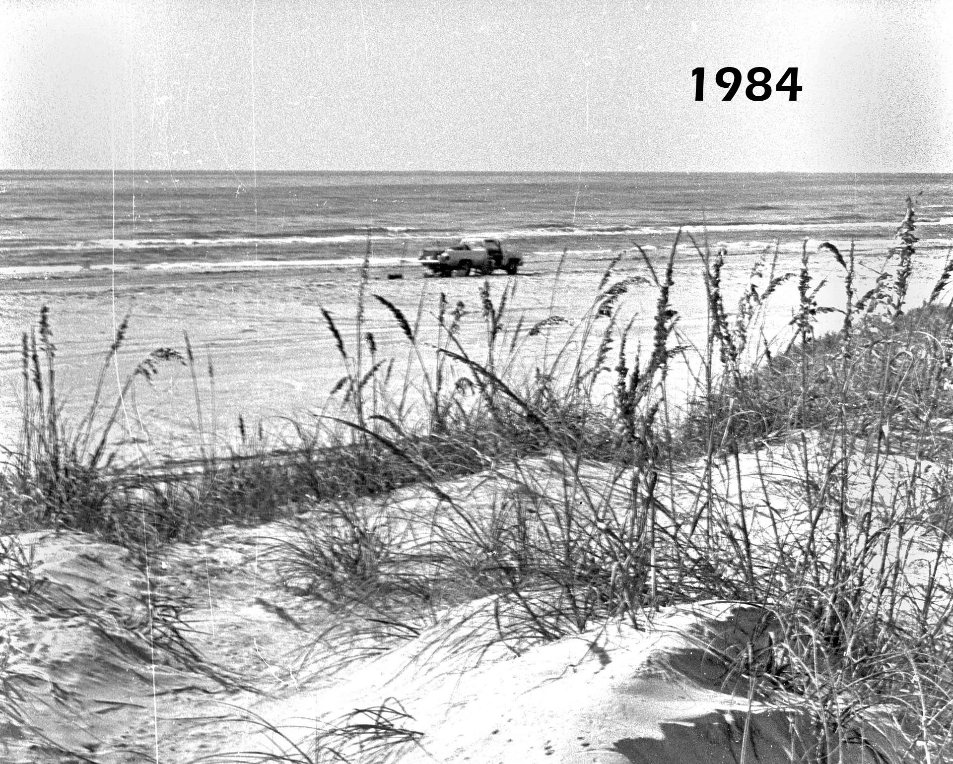
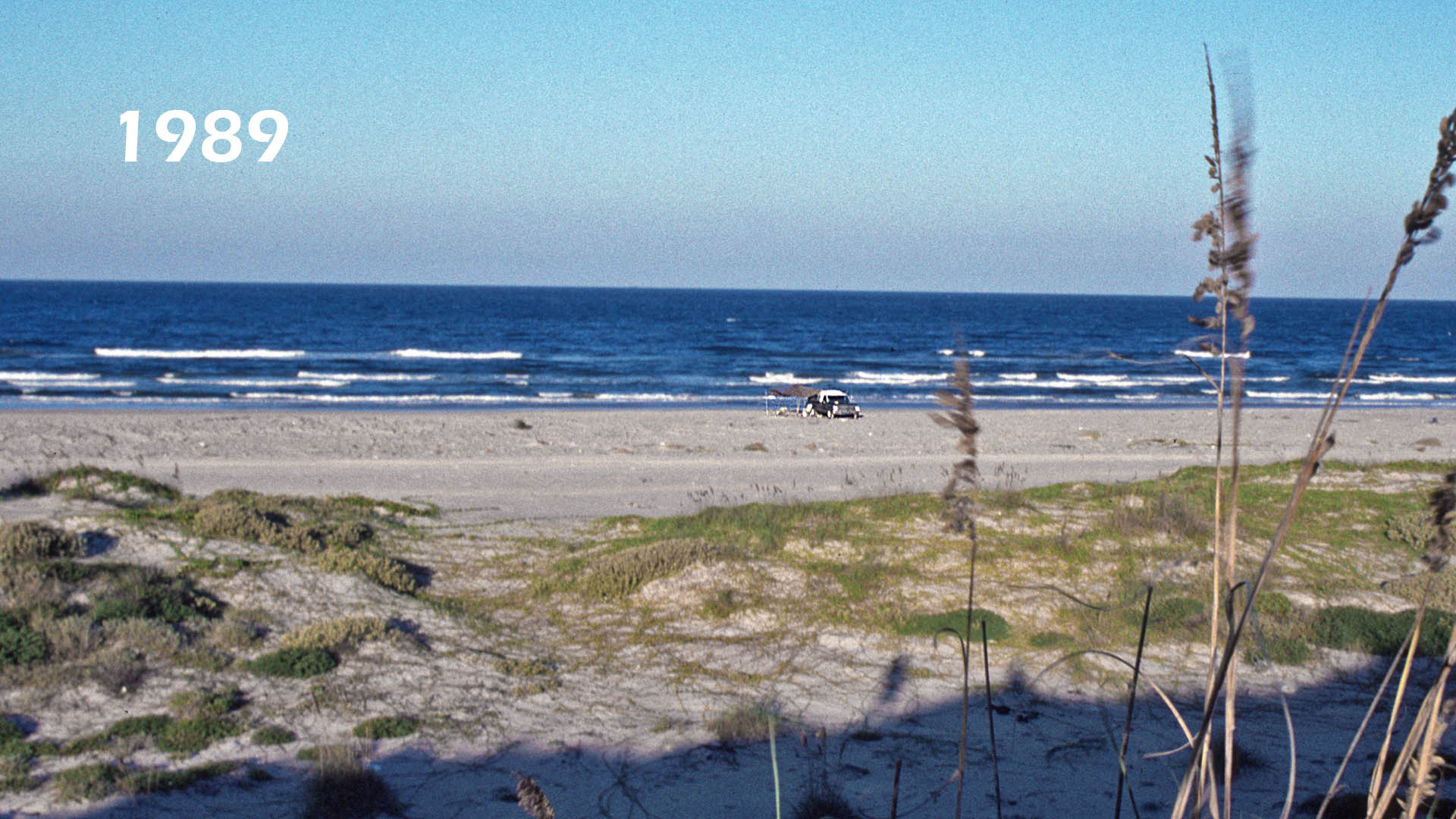
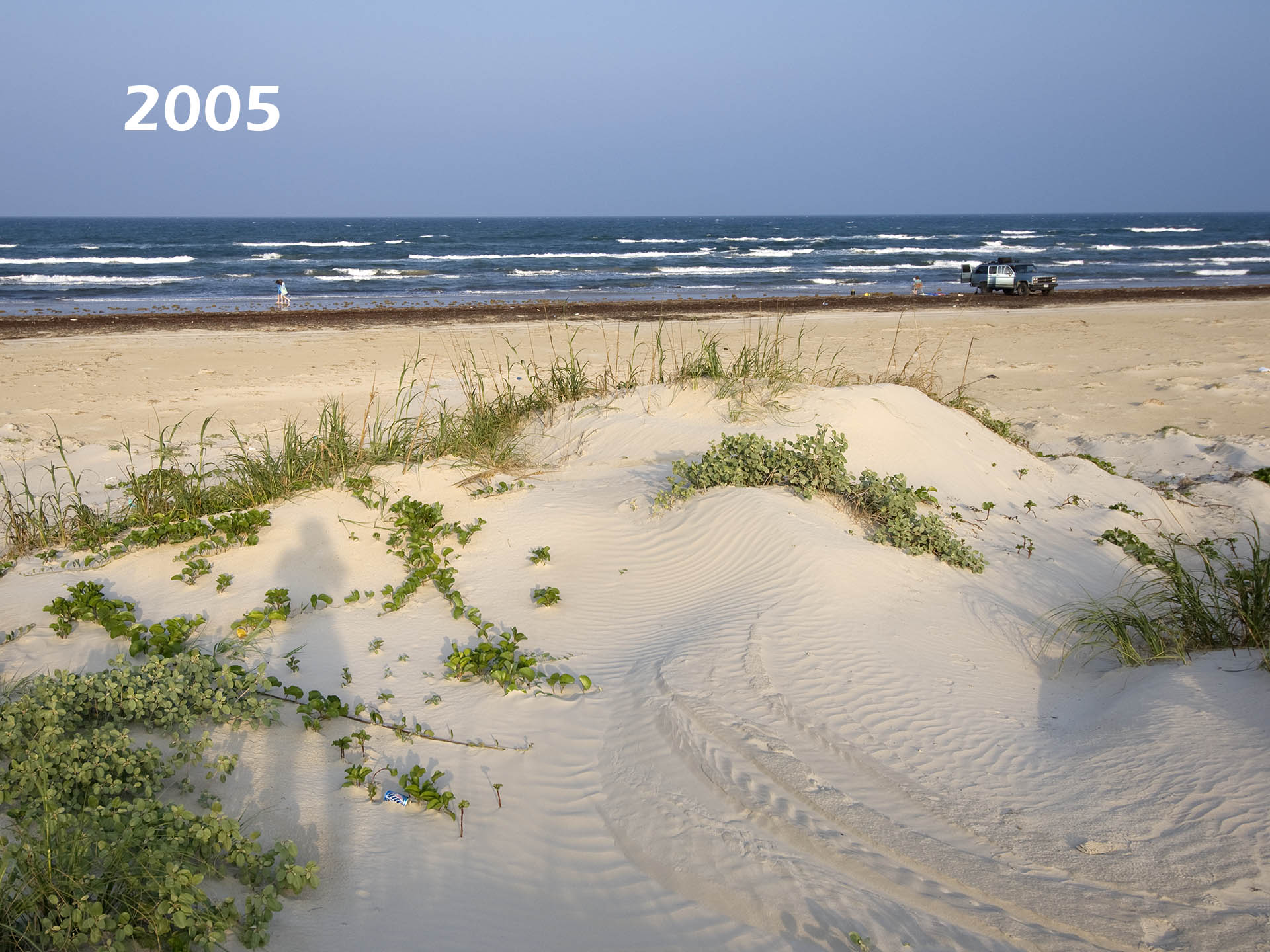
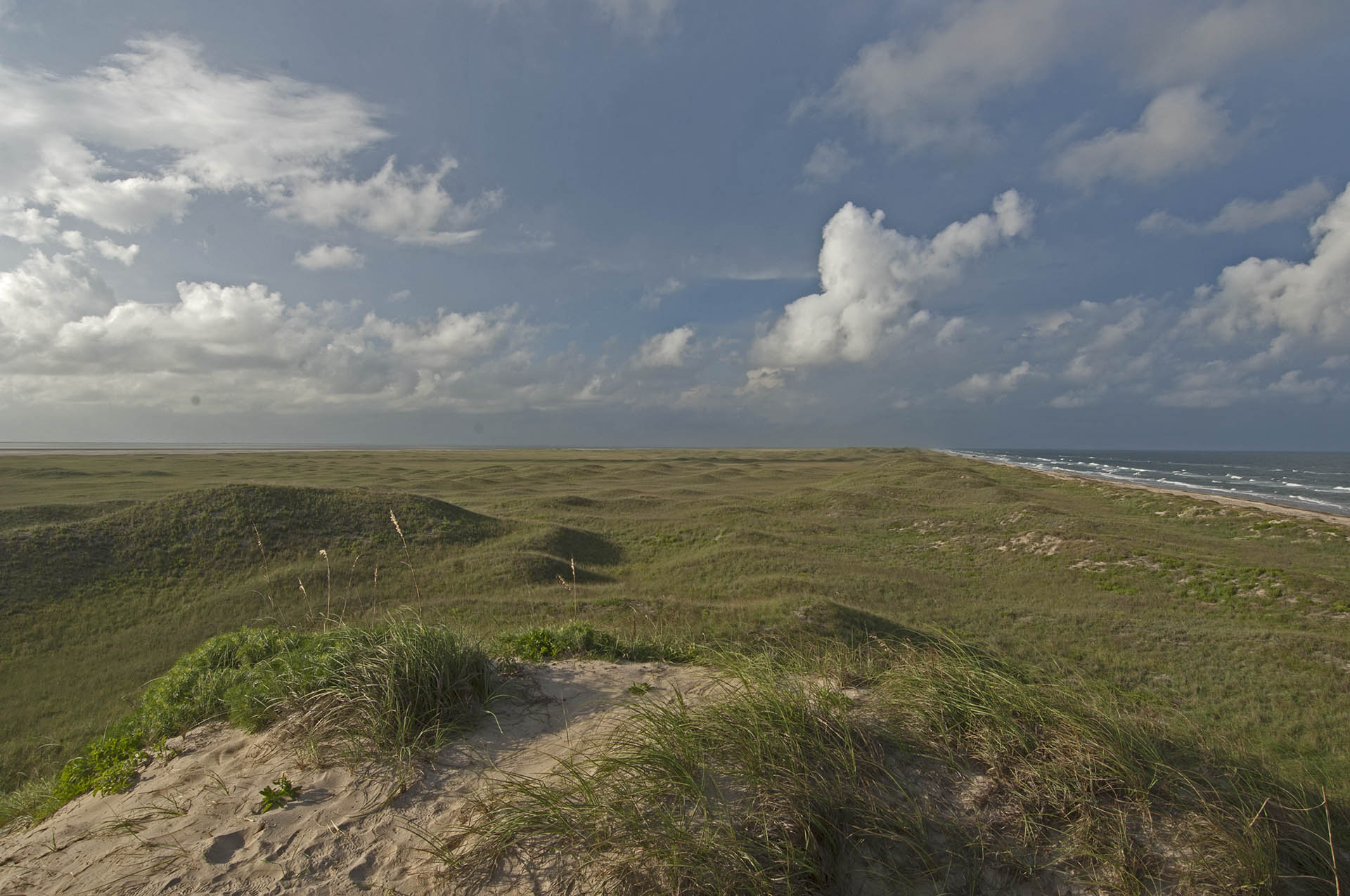
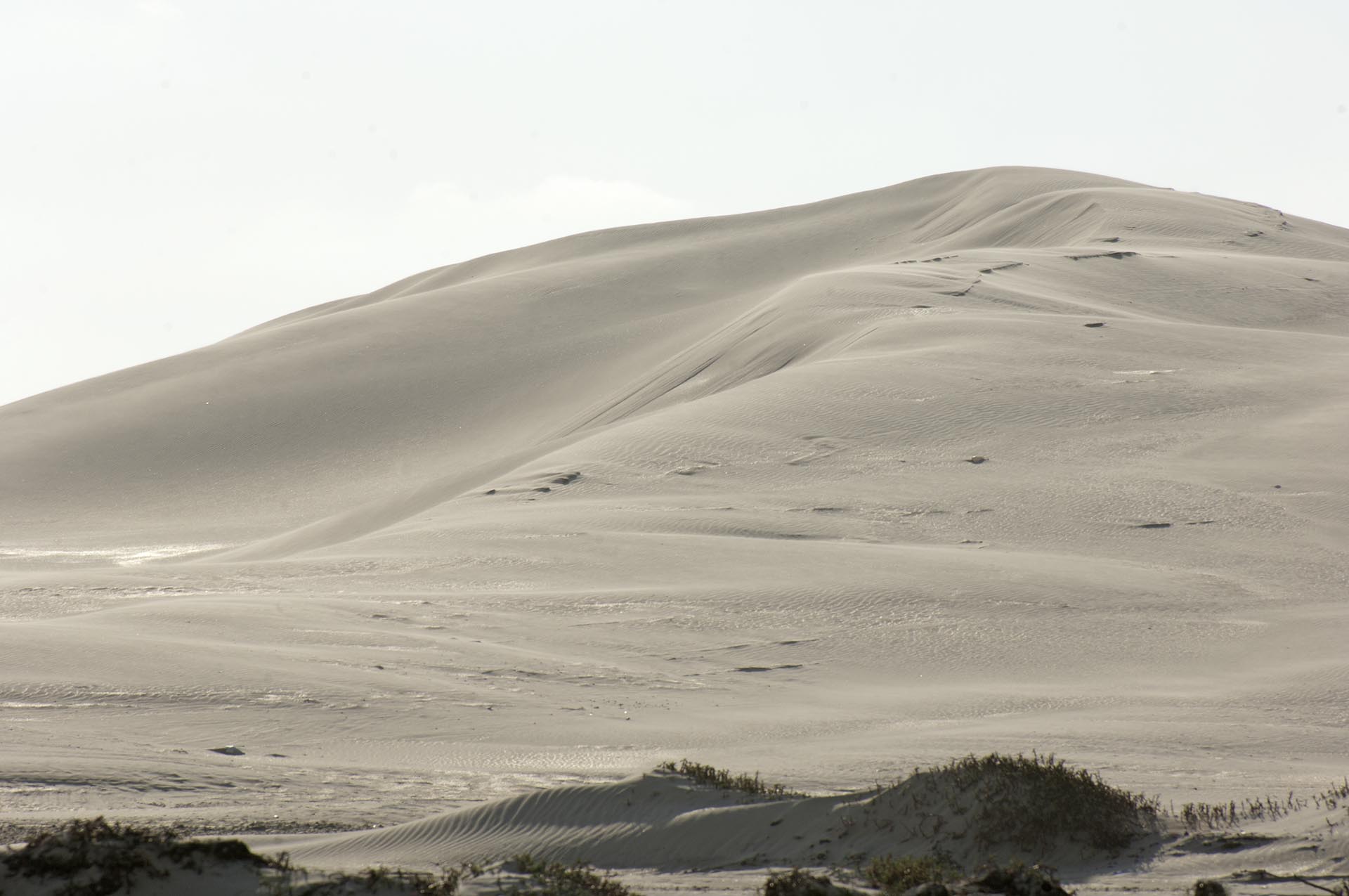
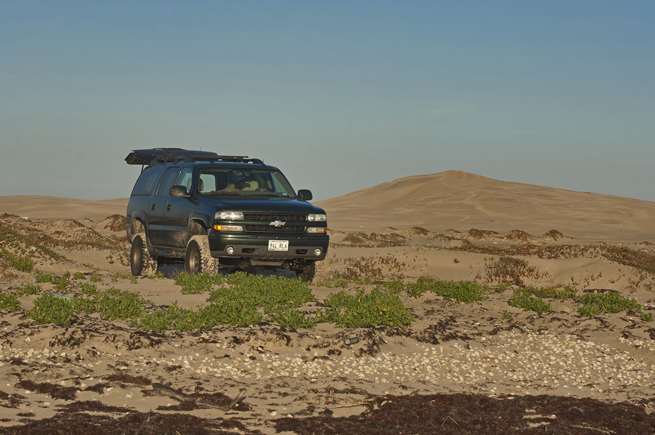
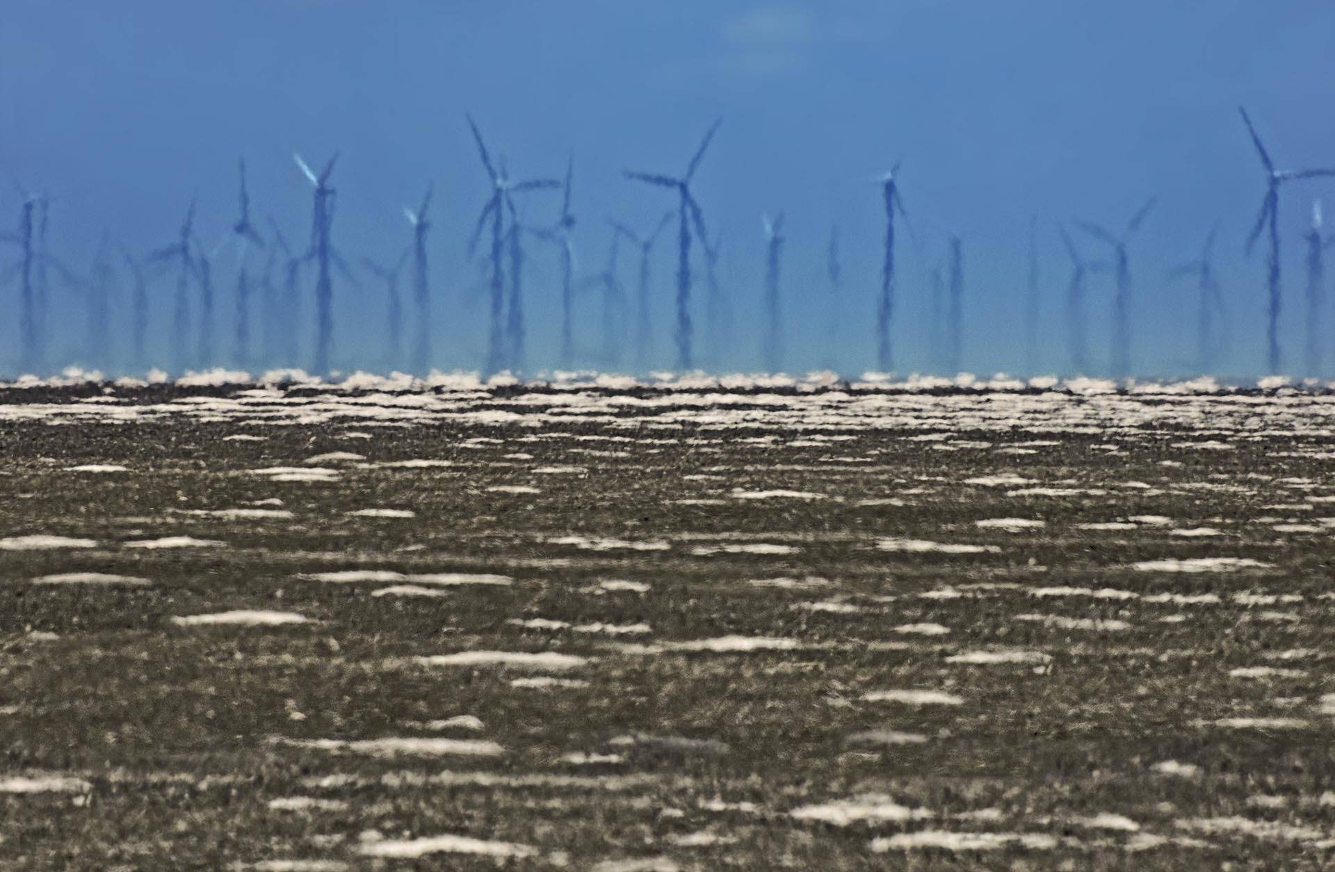
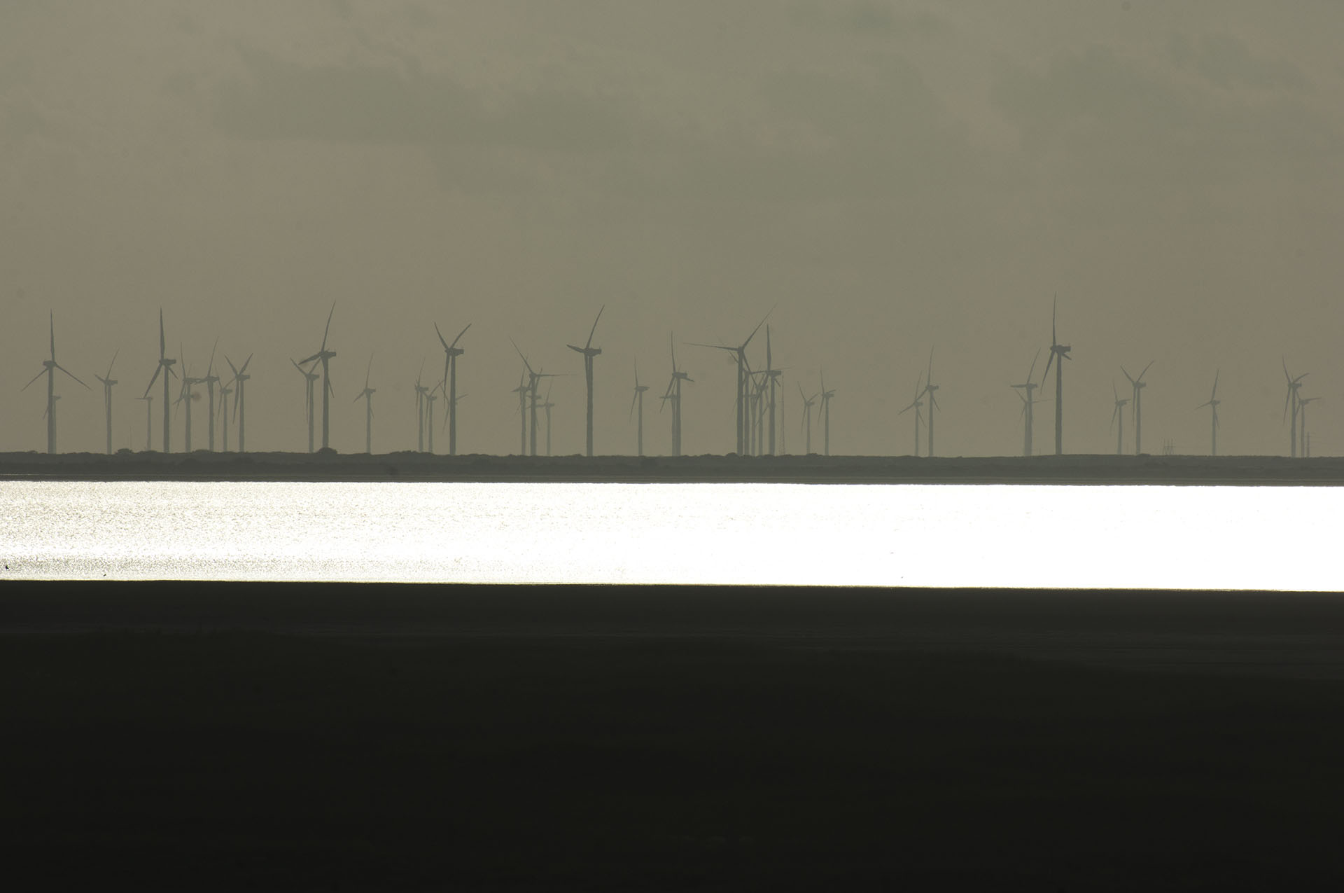
The Big Dune is at Mile 25 and is known as a popular camp. Extensive sand flats lie back of this dune that has been left alone after some massive hurricane washed away surround dunes for miles in both directions. Beyond the flats is the Laguna Madre, which is a five mile wide salt water estuary nearly cut off from the Gulf of Mexico. On the mainland side of the Madre are hundreds of wind generators.
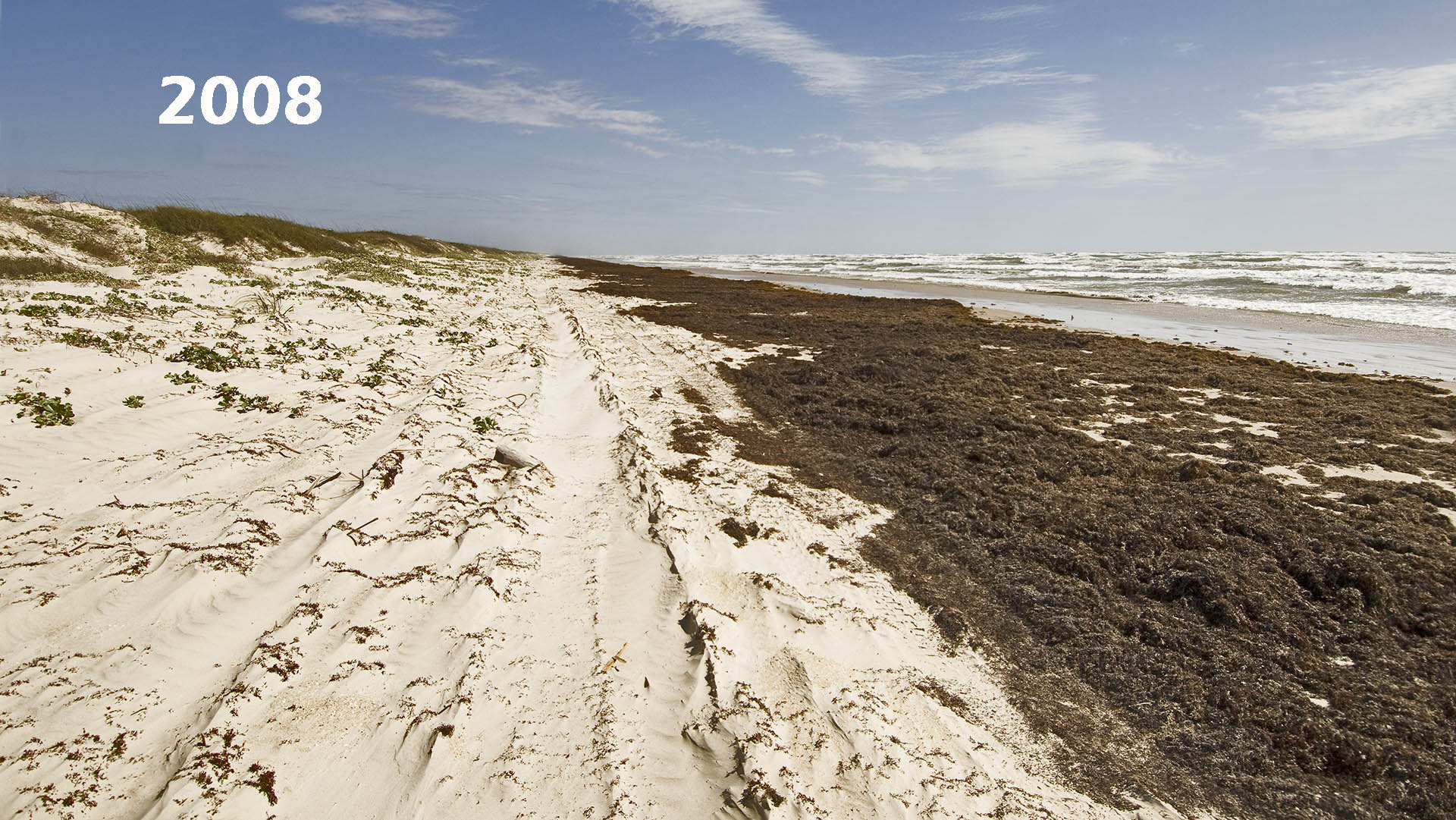
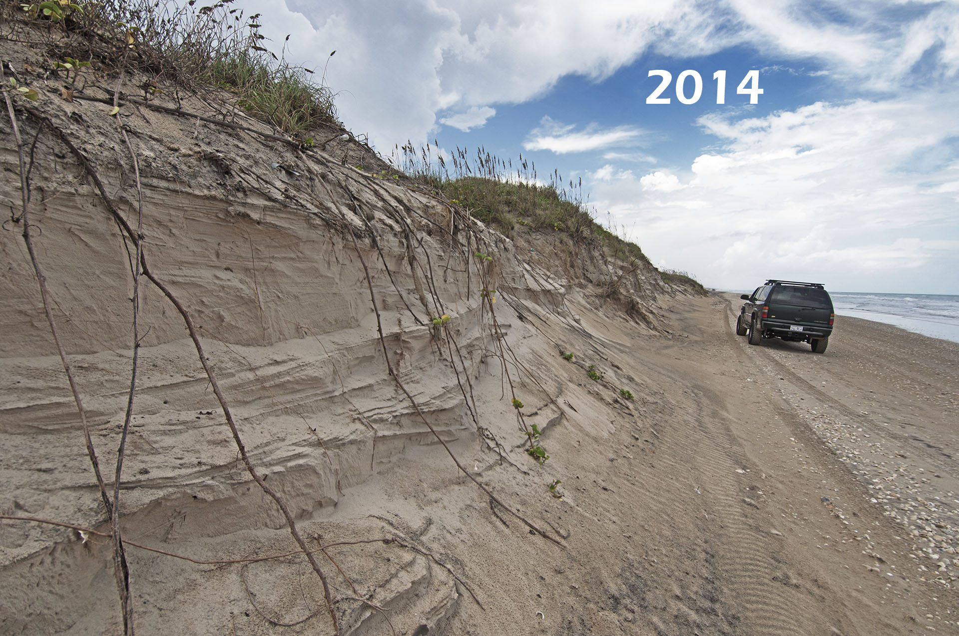
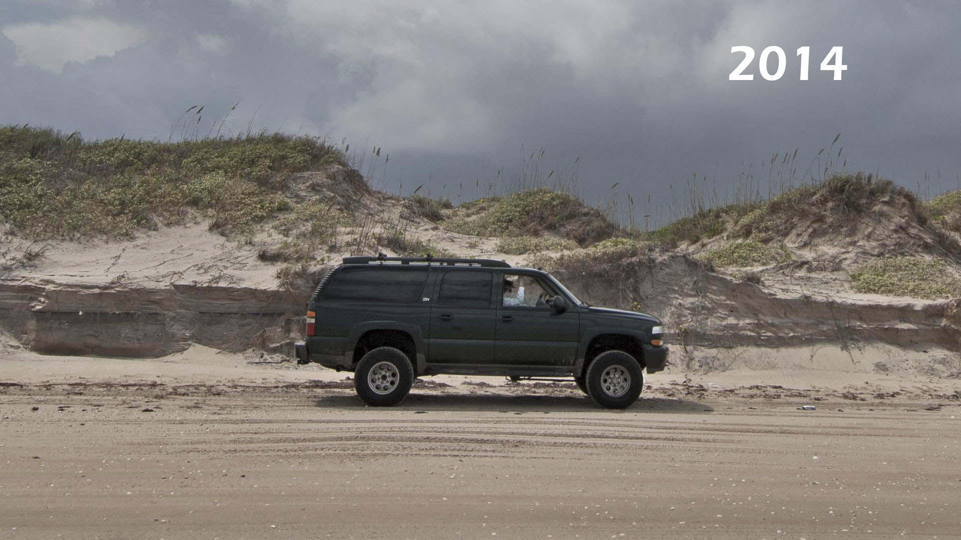
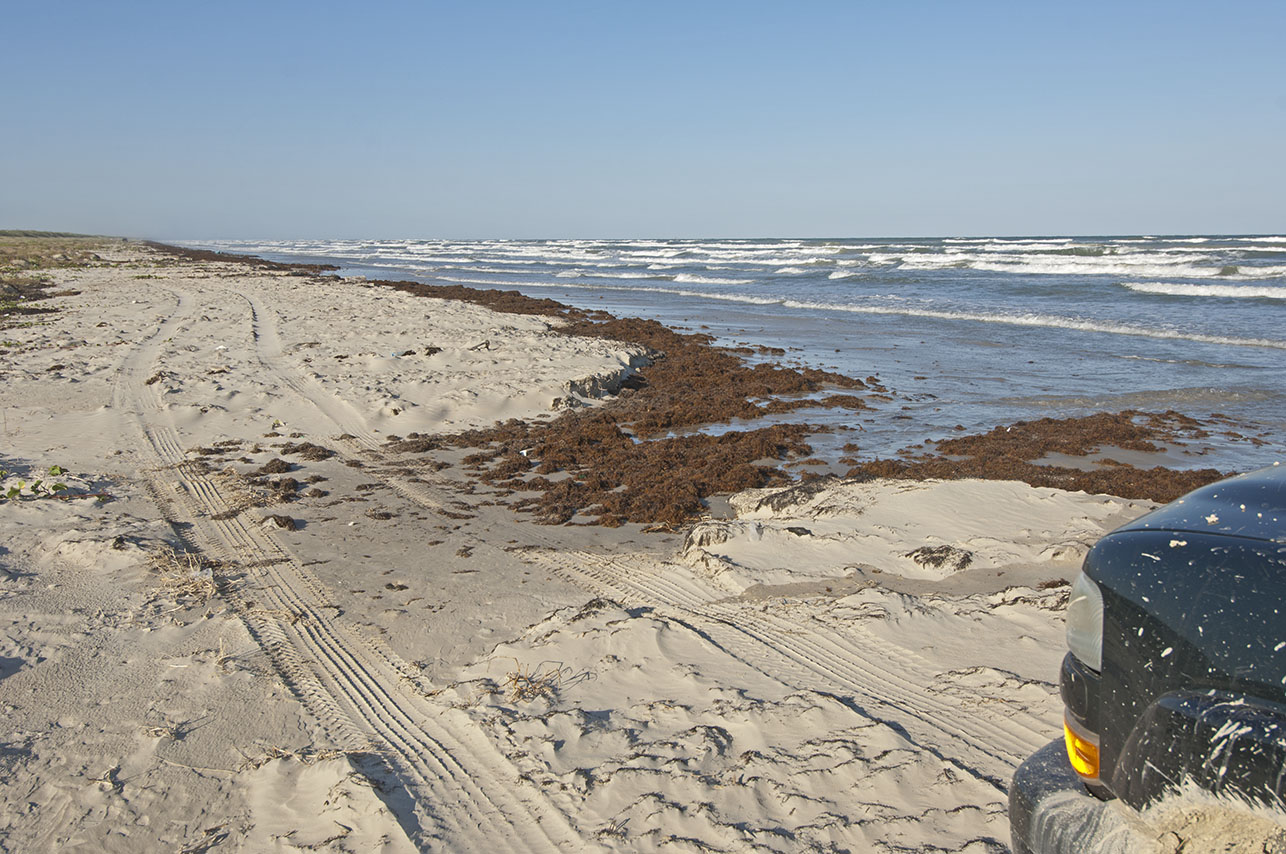
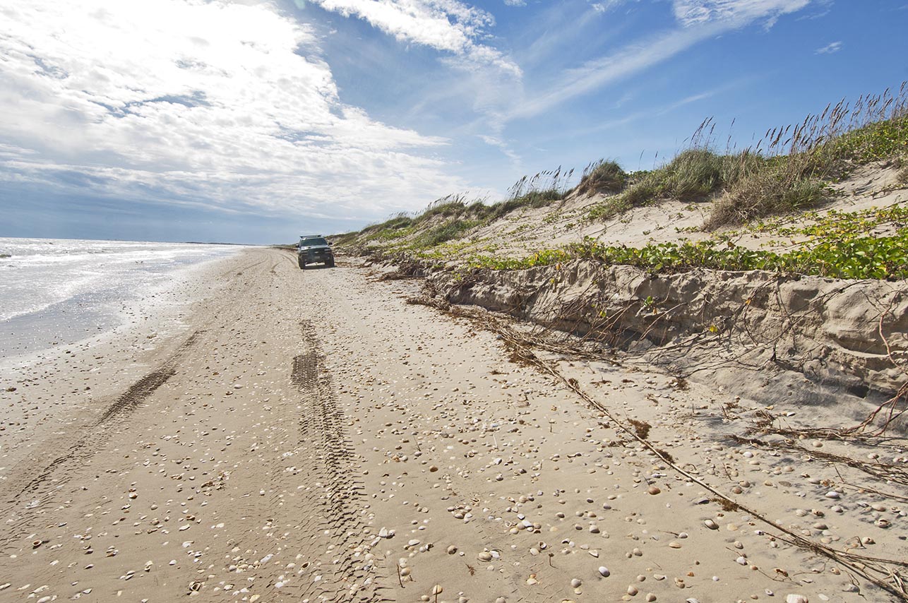
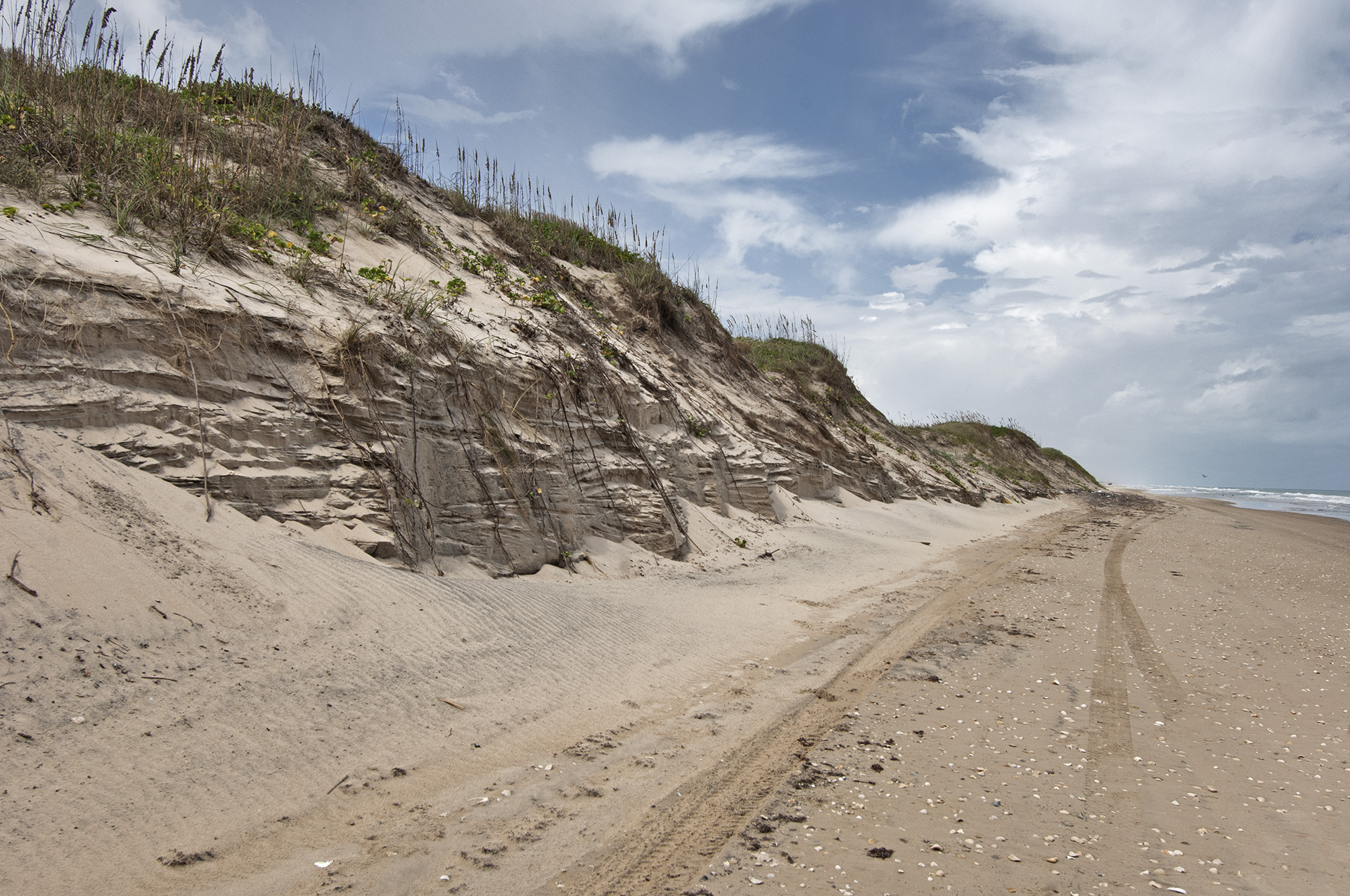
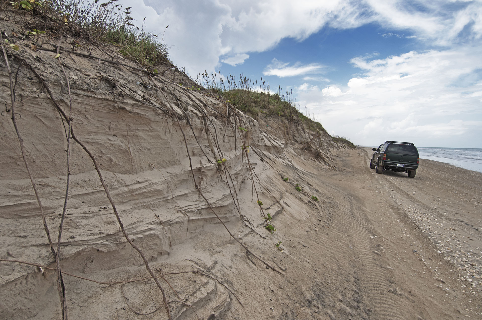
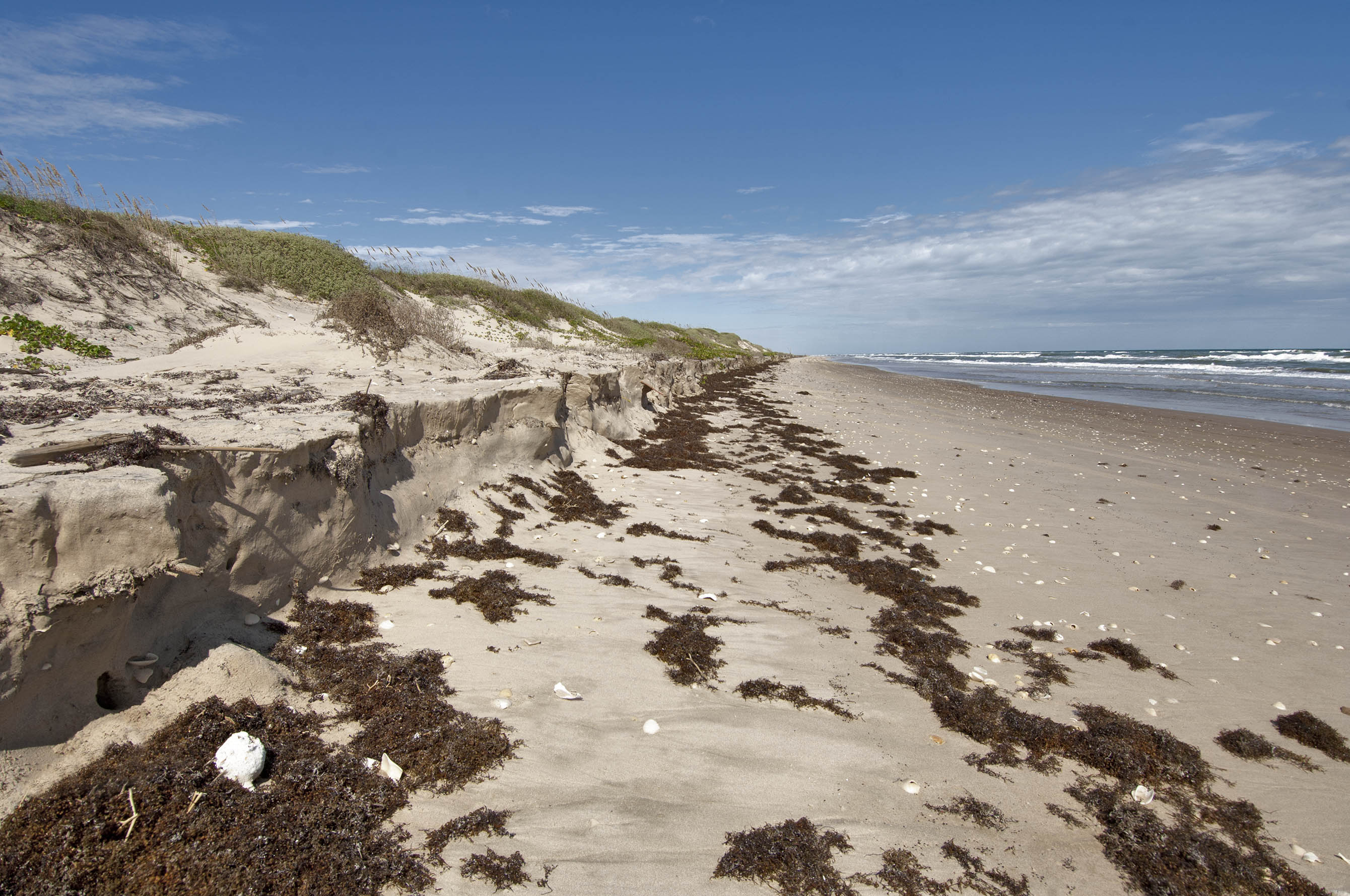
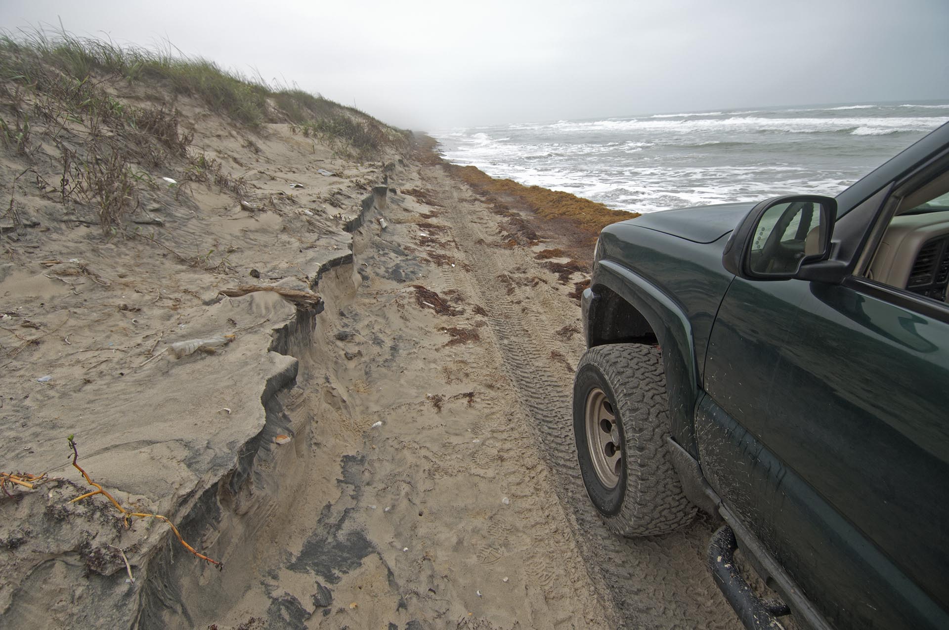
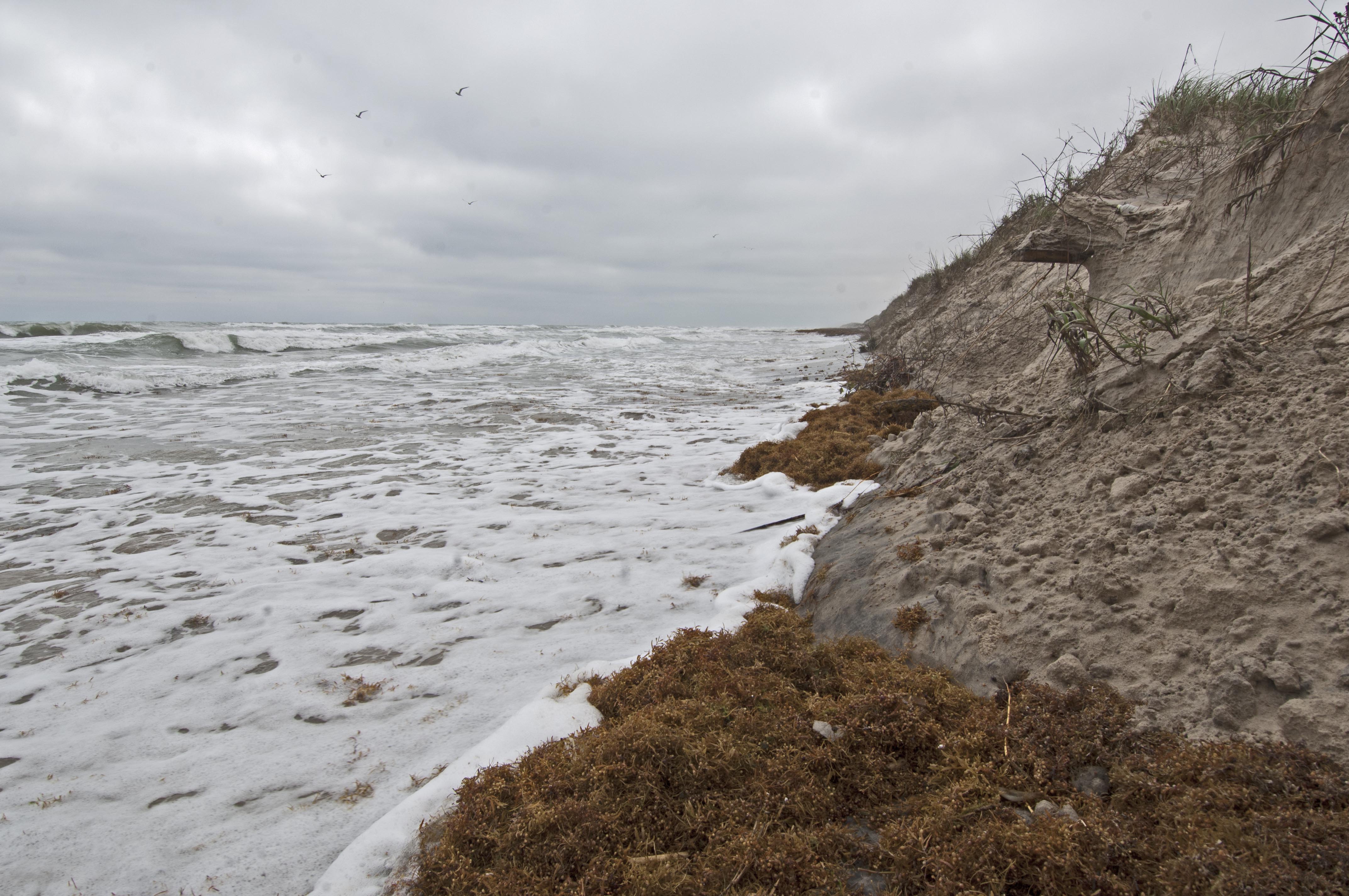
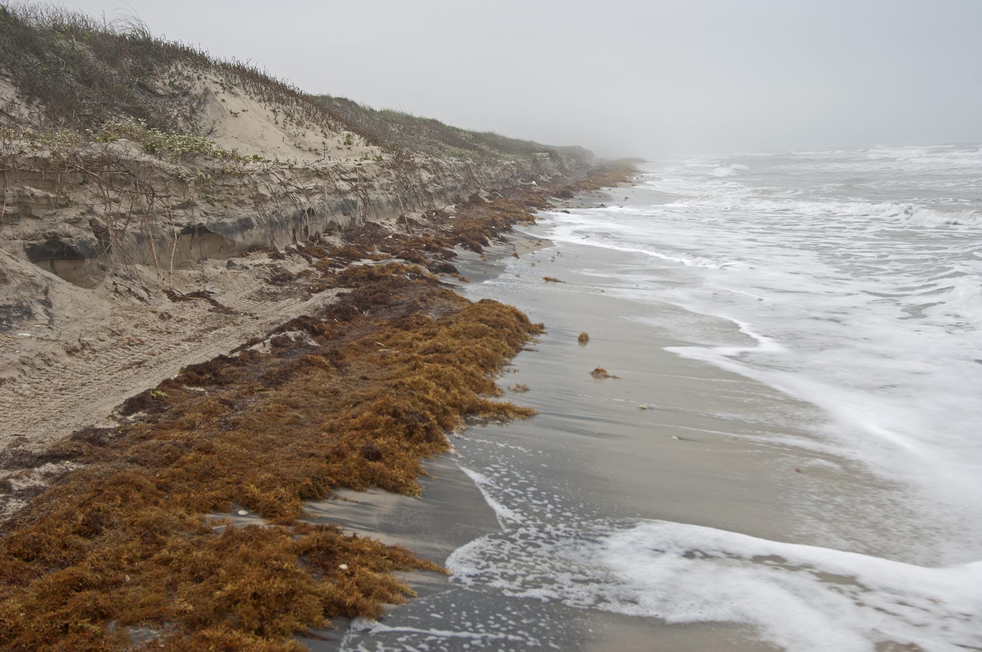
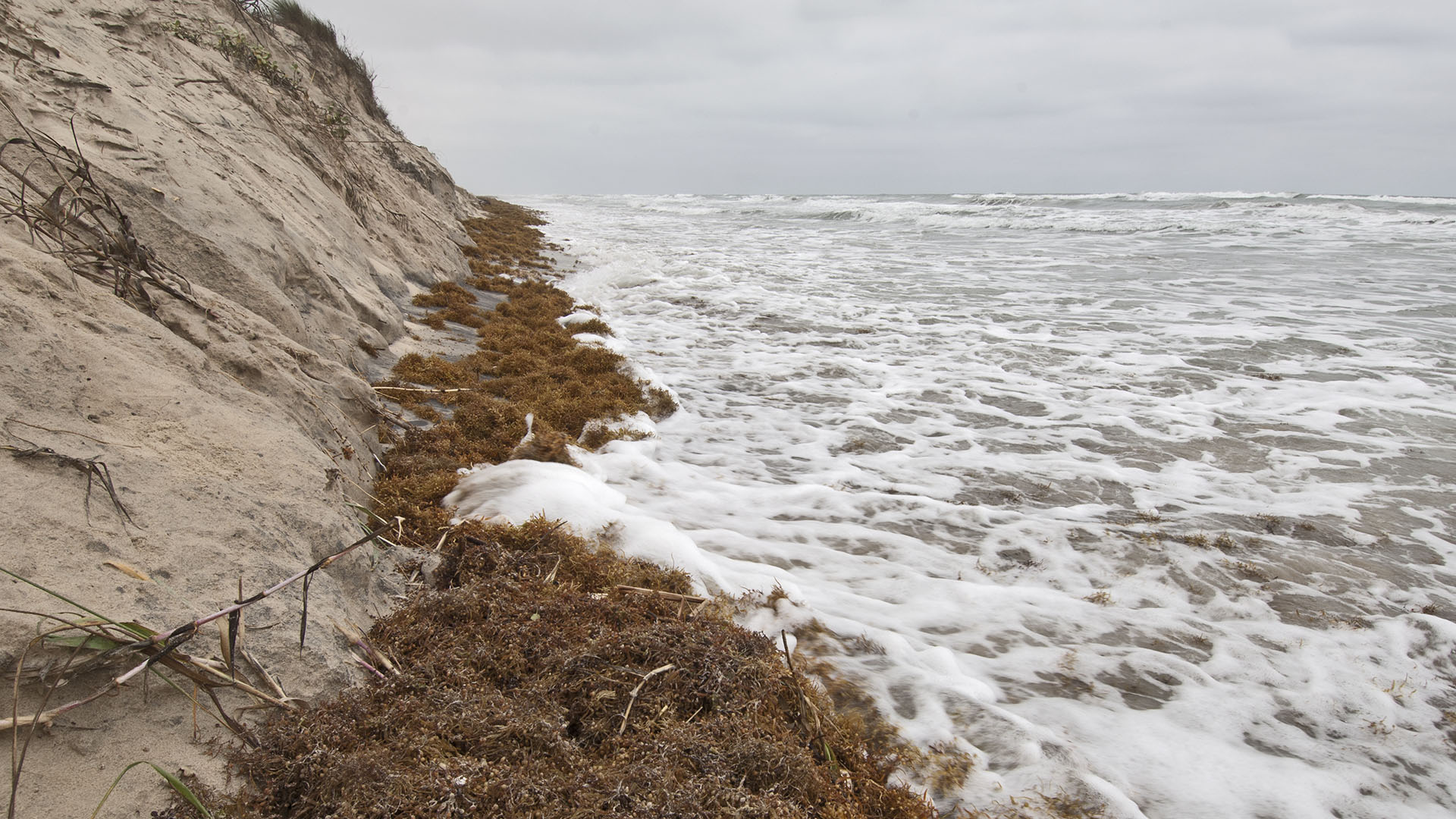
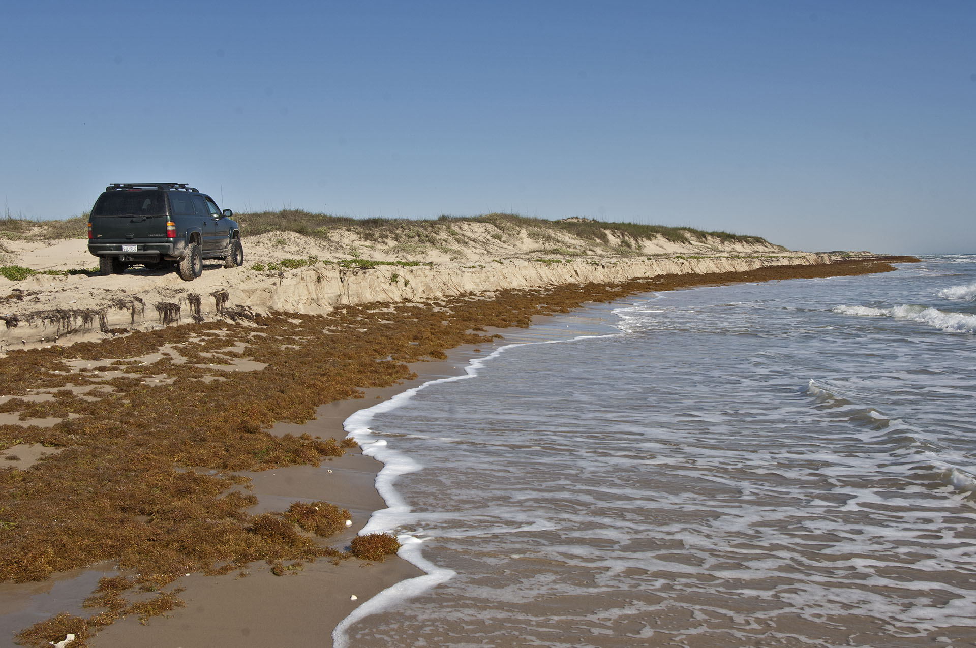
Mile 40 is Turtle Camp. This is where about a half dozen USFW biologist stay 4 days at a time to watch the beach for turtles during nesting season. If we camp it will likely be between Mile 25 and Mile 45. At Mile 28 the first dune erosion was seen in October 2014. The first erosion in April 2014 was at mile 48. At mile 48 in October 2014 the dune erosion was 6 to 8 vertical feet.
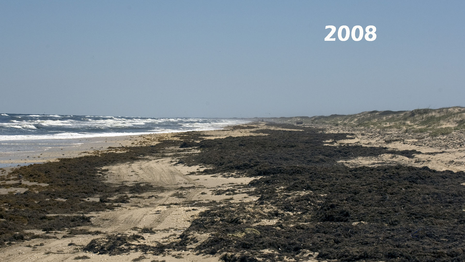
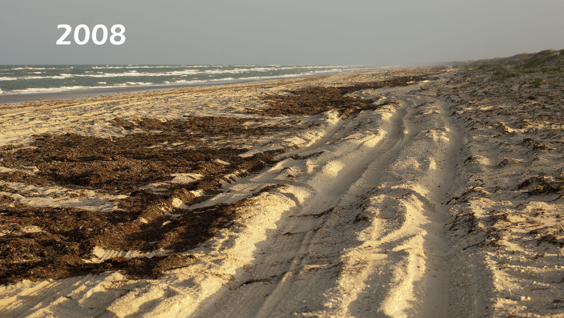
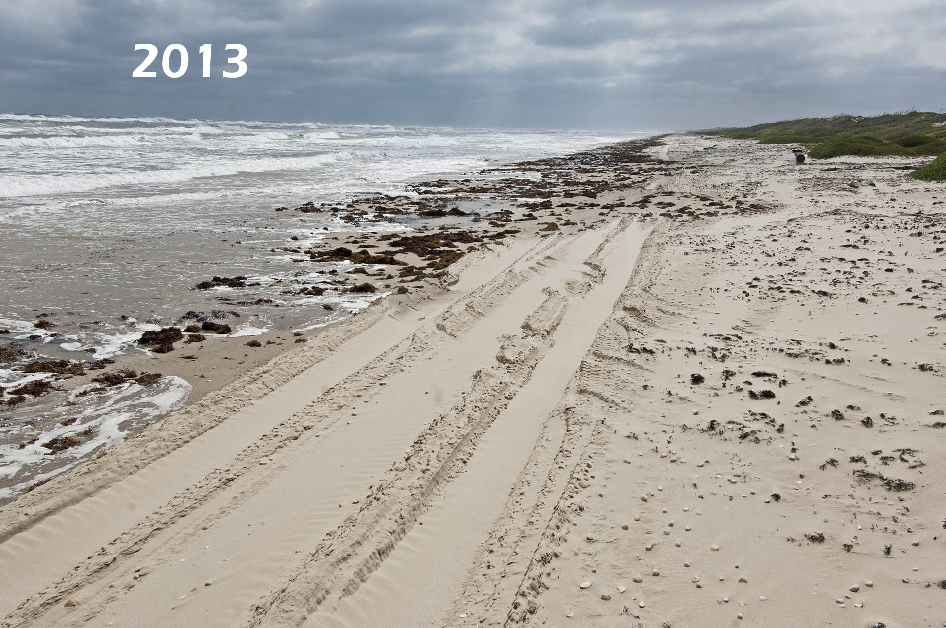
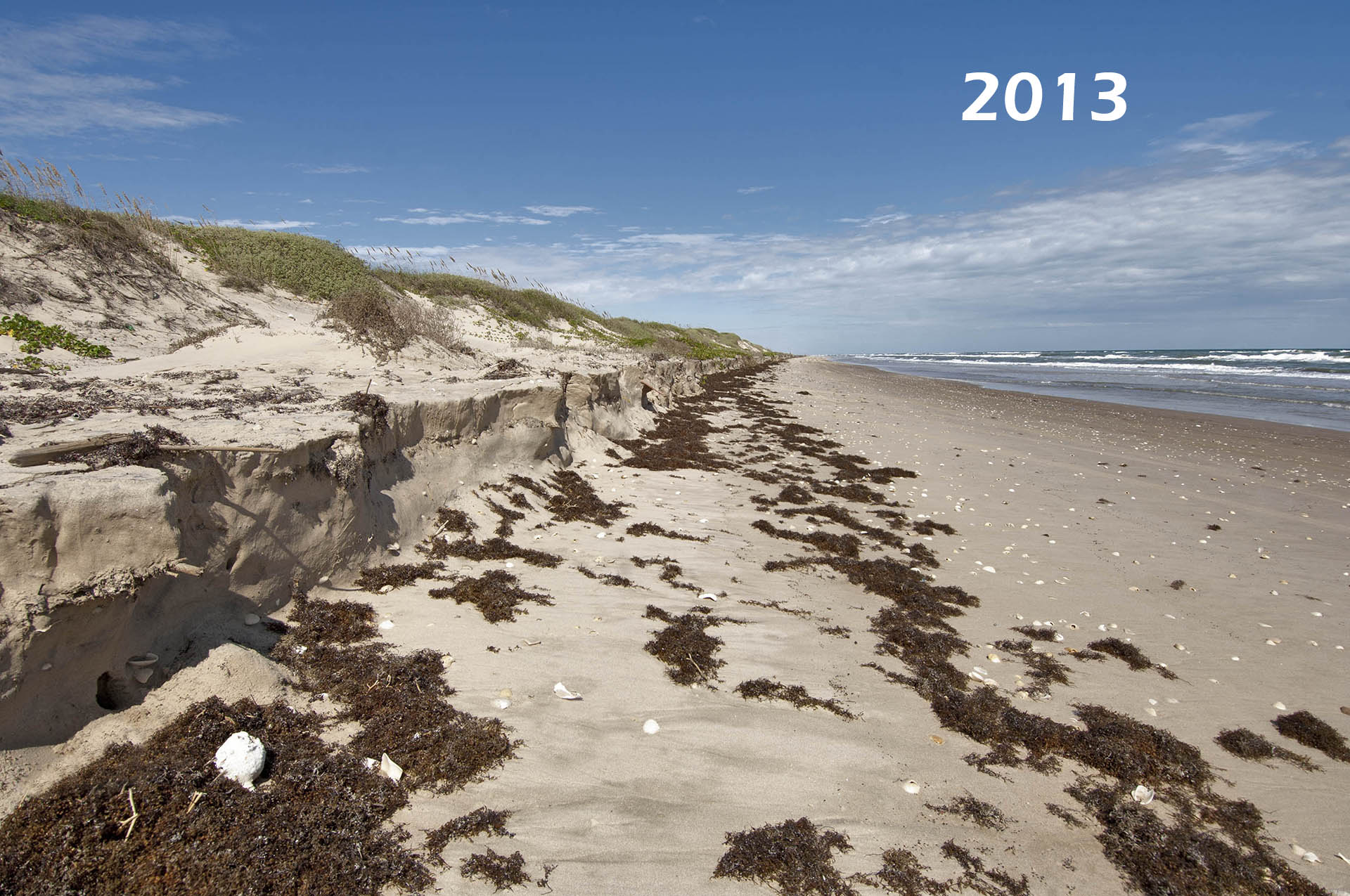
Mile 50 is the wreck of the Nicaragua, a 1910 freighter that ran aground in a hurricane. Its boilers are visible during low tide just outside the second bar. Mile 55 was where the first dune erosion was in October 2013. The dune foot was cut four feet then. A year later it is 10 to 12 feet.
Mile 62 is Mansfield Pass and the jetties. We turn around here as the pass completely bisects Padre Island.
South Padre Island – the Southern 26 Miles
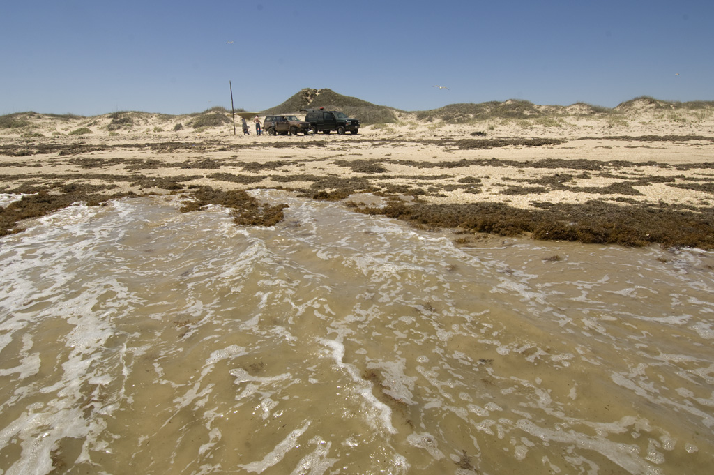
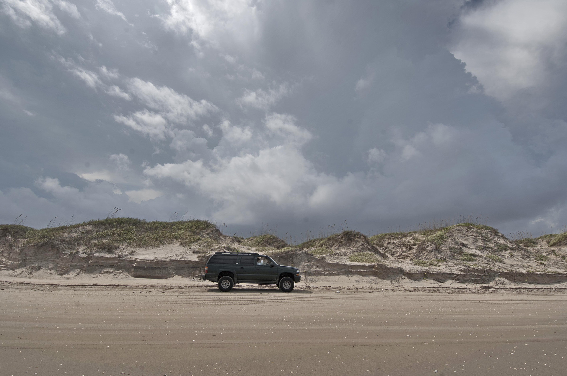
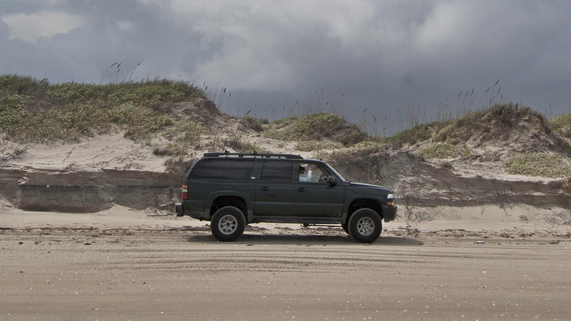
The four-wheel drive begins abruptly about a half mile beyond Beach Access Road 6, which is the last paved access. This eroded area serves as a natural gate that keeps out all but a few. It’s only one big sand dune, but the surf has cut into it over 10 vertical feet and it is impassible to non four-wheel drive at high tide.
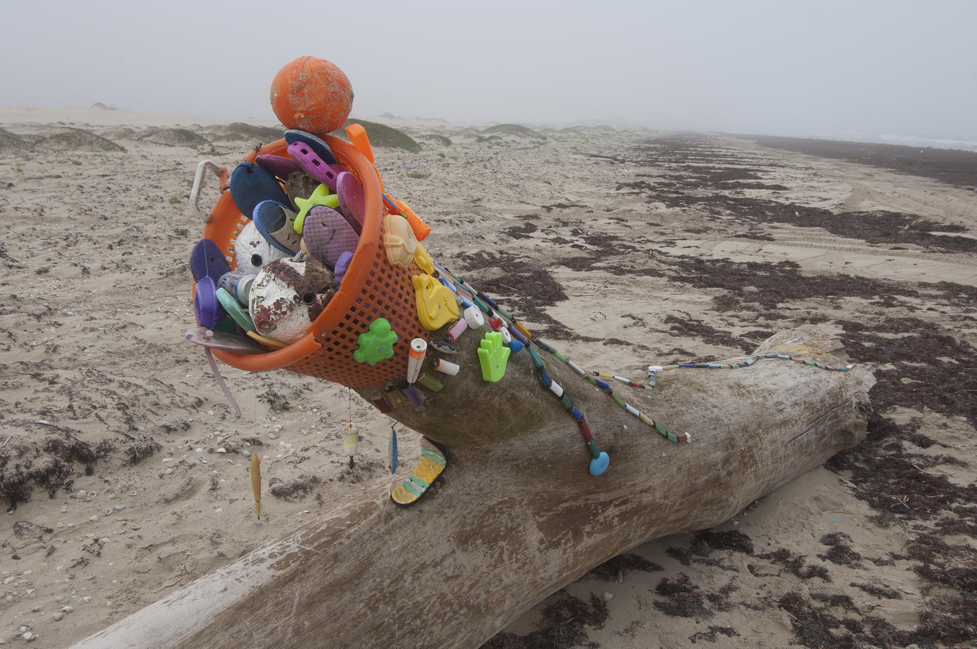
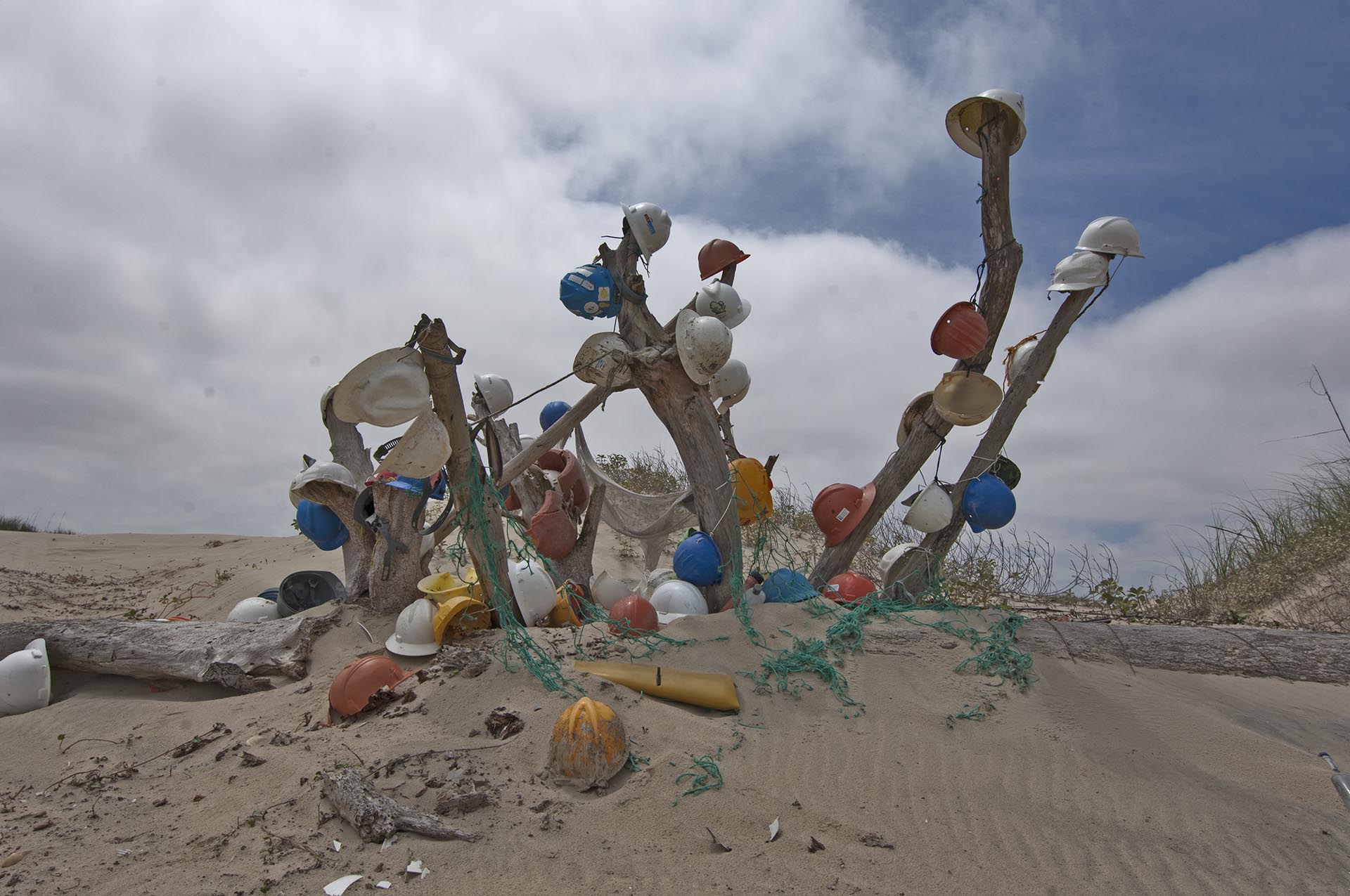
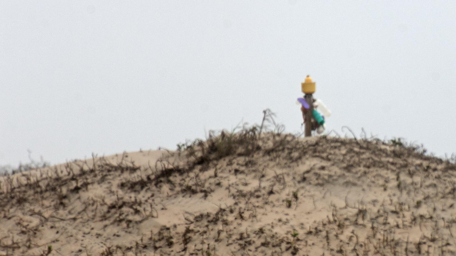
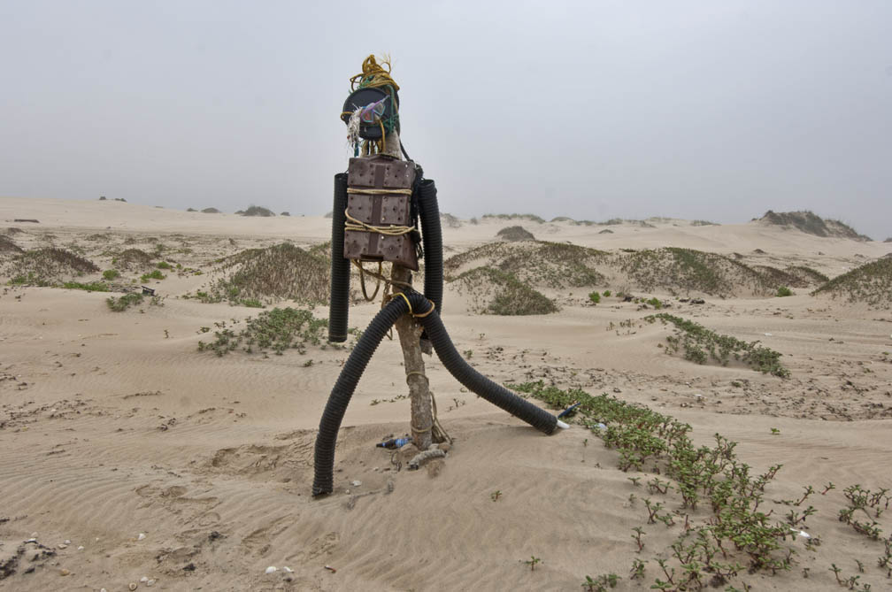
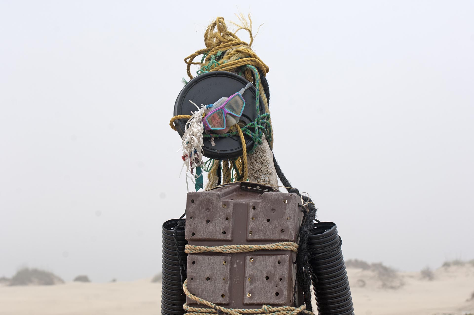
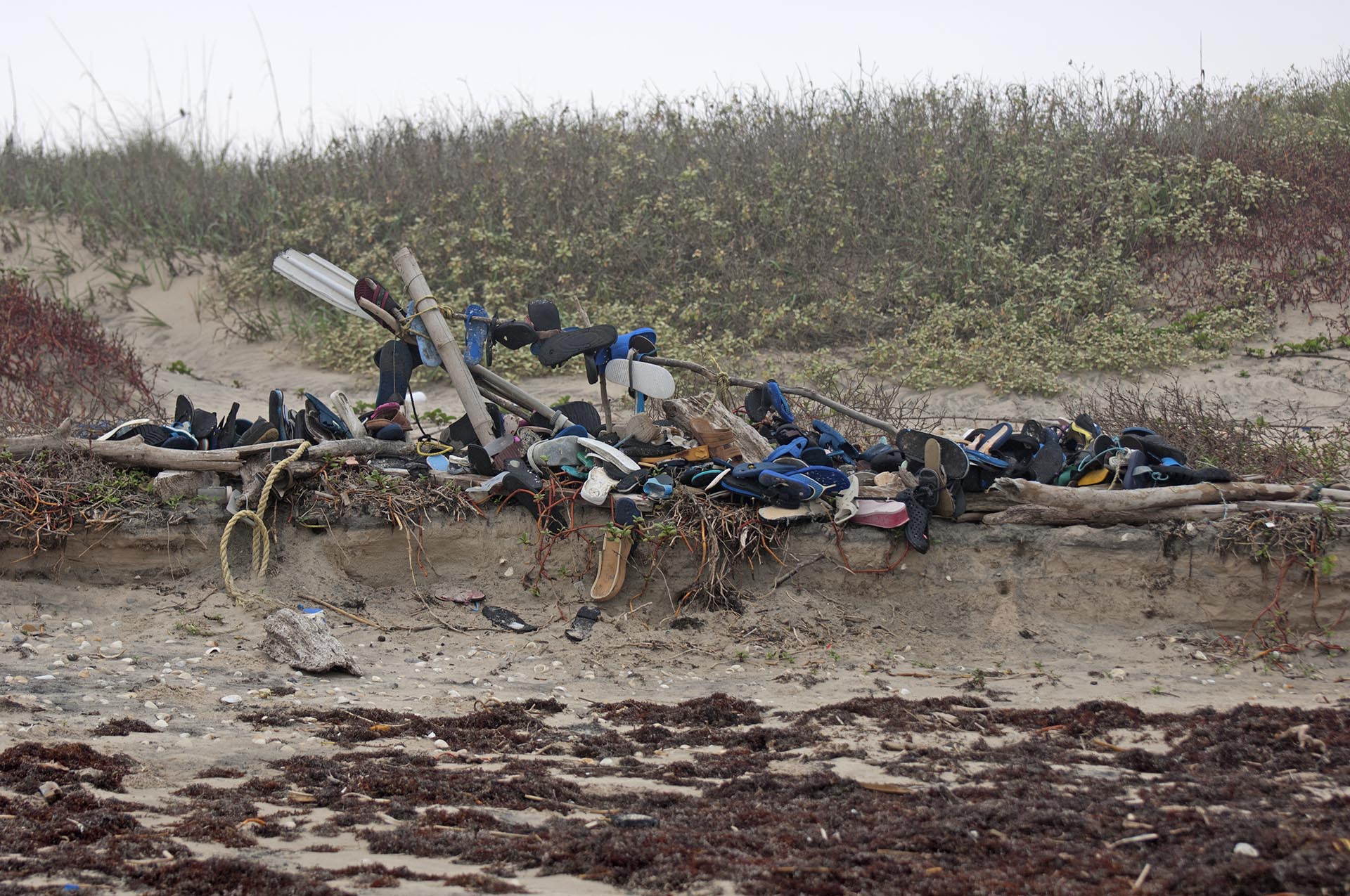
After the gate, things get a little weird. A local South Padre Island artist has collected beach trash and changed it into sculpture every few miles. One is a hardhat tree, made from 50 or 60 hardhats washed ashore after falling (or being blown) from the heads of oil workers on platforms in the Gulf. Another is a giant driftwood tree adorned with hundreds of discarded reusable lighters in a serpent theme. These and many other sculptures can be found next to the trail and inland, a thousand feet into the island atop the tallest dunes.
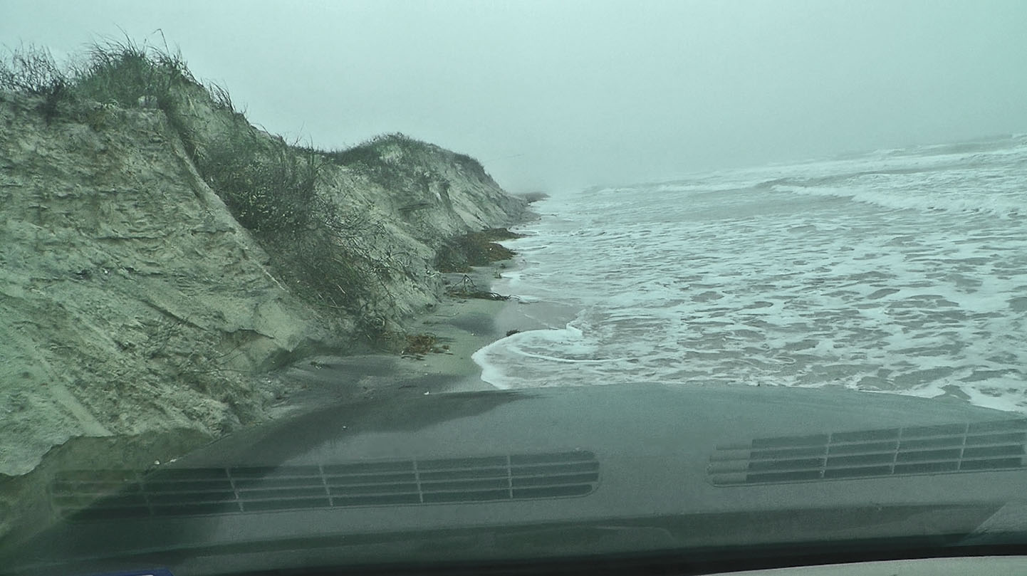
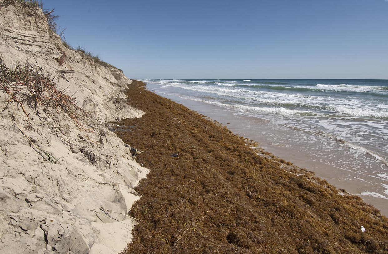
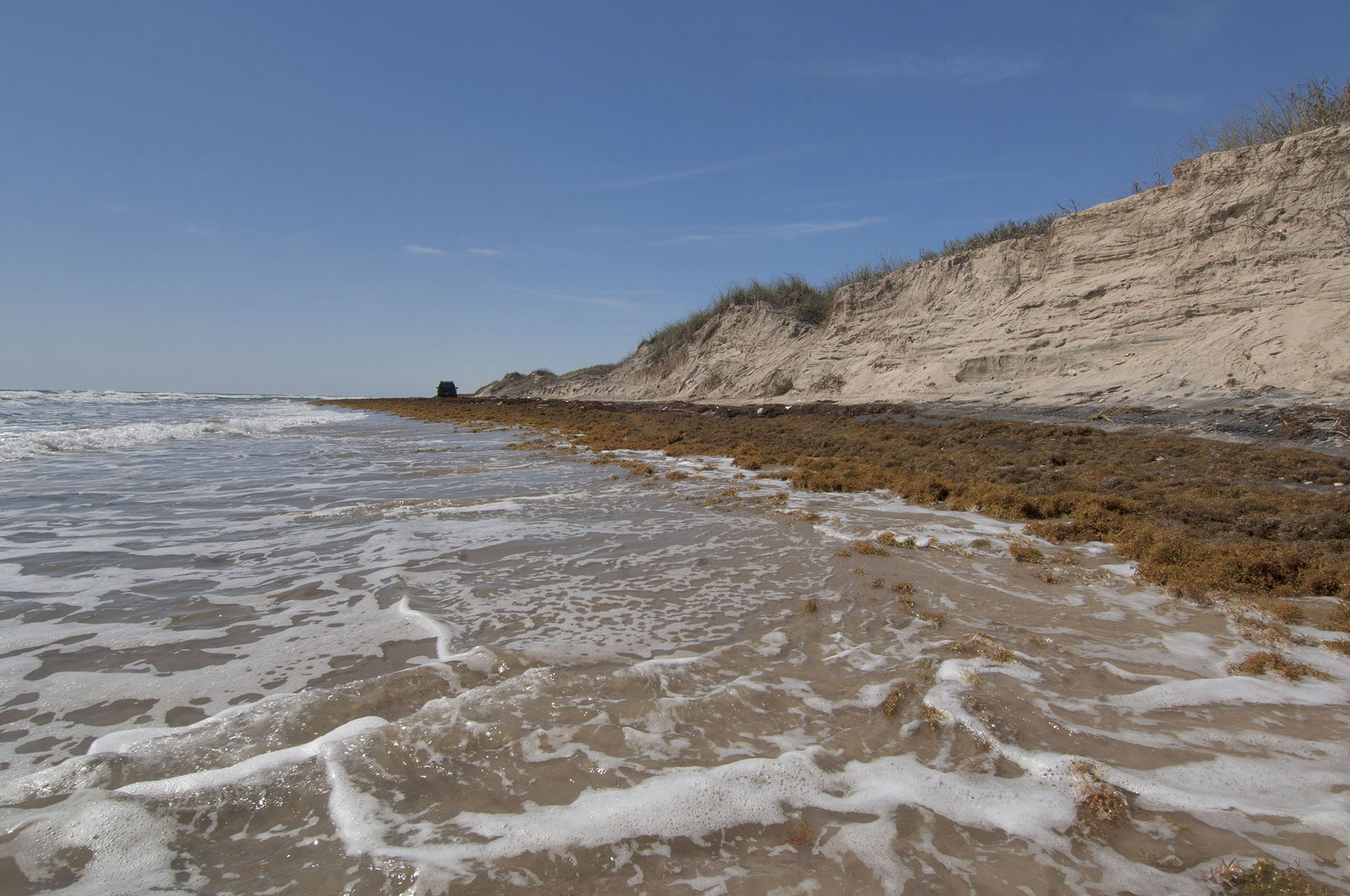
Mile marker 9 is the second erosion area up the beach to the north. This one is about a mile long, cuts the dune 10 to 15 feet high and has a water traverse of about 500 feet at high tide.
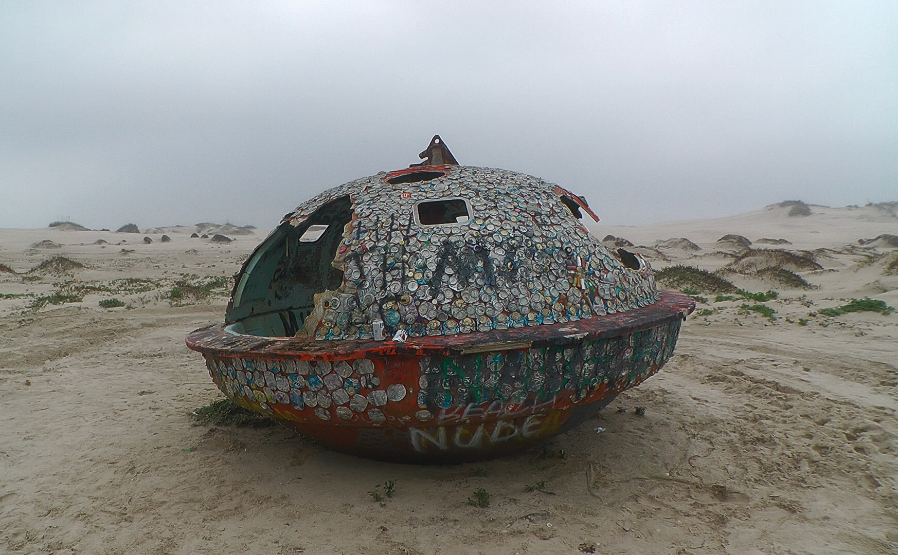
At mile 10 there is a UFO. It’s the shell of a lifesaving pod from an oil rig or ship that indeed, looks exactly like a UFO. Somebody has screwed smashed beer cans to it across almost every inch of its empty shell.
Mile 13 marks The Narrows proper. This is a three mile long area with a water traverse of about 2,000 feet and dunes cut up to 15 feet vertically. The exit to the water traverse cannot be seen from the entrance. Here one has to slow in their drive through the surf to let the waves roll up under the truck and crash against the eroded dune face. When the wave retreats, hurry.
Mile 18 is camp. Even through South Padre is much shorter than the National Seashore, this camp is well deserved. It sits on the edge of one of the storm cuts that litter South Padre. These cuts are what remains after violent hurricanes blast their storm surge through the dunes, spreading the sand completely across the back of the barrier island.
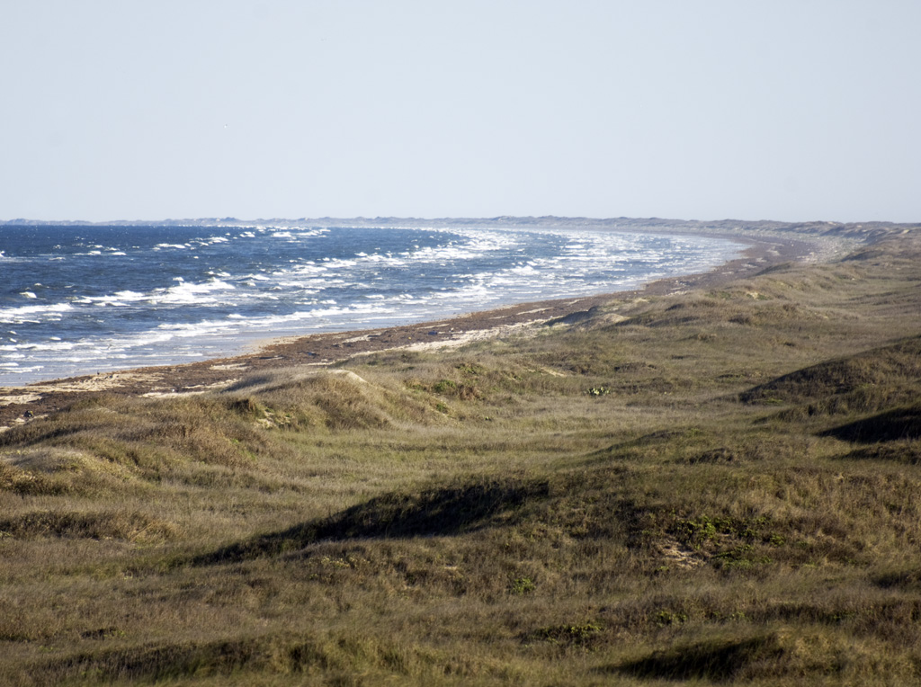
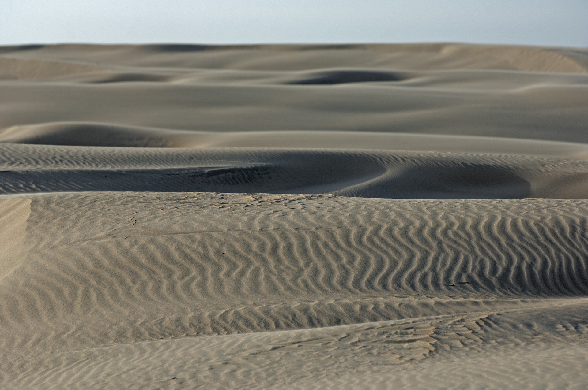
After the storm, dunes quickly build in the normal process of beach regeneration. But on South Padre there is less rain and as a consequence, the dunes revegetate more slowly leaving more blowing sand and shifting dunes than in the north where there is more rain. South Padre is characterized by these cuts, but Padre Island National Seashore is almost a complete stretch of unbroken dunes along the shore.
Mile 22, or thereabouts is the lost dragon sculpture. We don’t know where it is, but it is supposed to be here and it is supposed to be the best beach sculpture on the Island.
We reach the jetties at Mansfield Pass from the south side at Mile 26.
The Big Tour: North and South Padre (Three Nights Minimum)
Mansfield Pass bisects Padre Island so we can’t drive the entire thing without turning around and driving all the way around on the mainland to reach the Pass from the other side.
The itinerary for this trip is simple. Combine both itineraries above and include a 200 mile road trip in the middle. The northern part of the journey consists of a very long deserted beach. What South Padre lacks in length, it makes up for in beauty and the extremeness of the erosion taking place there.
At the minimum we will need one night On South Padre, or one night at a hotel on South Padre and two nights on Padre Island National Seashore or at a hotel on the beach at Corpus Christi.
Options
The Flats
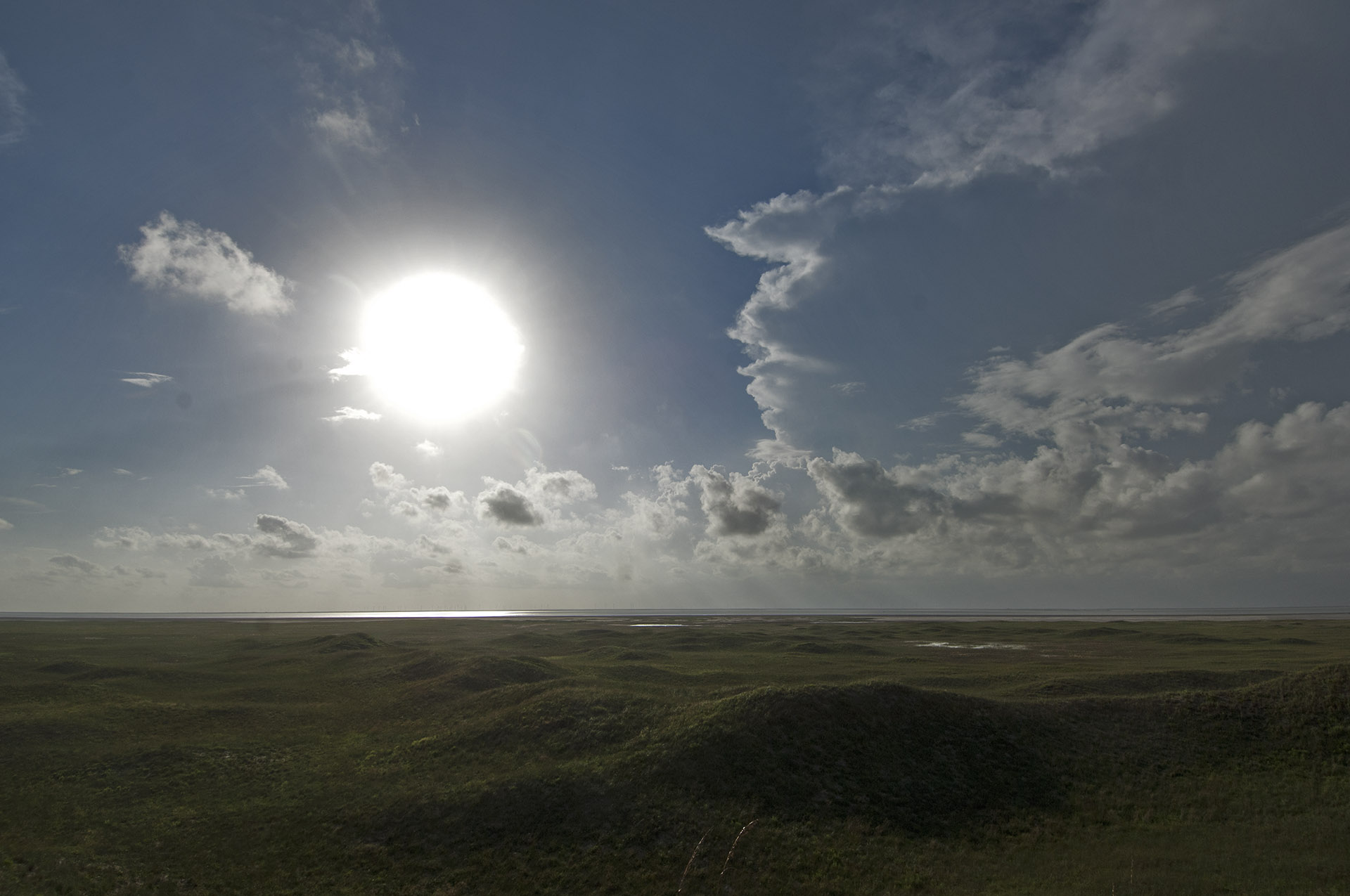
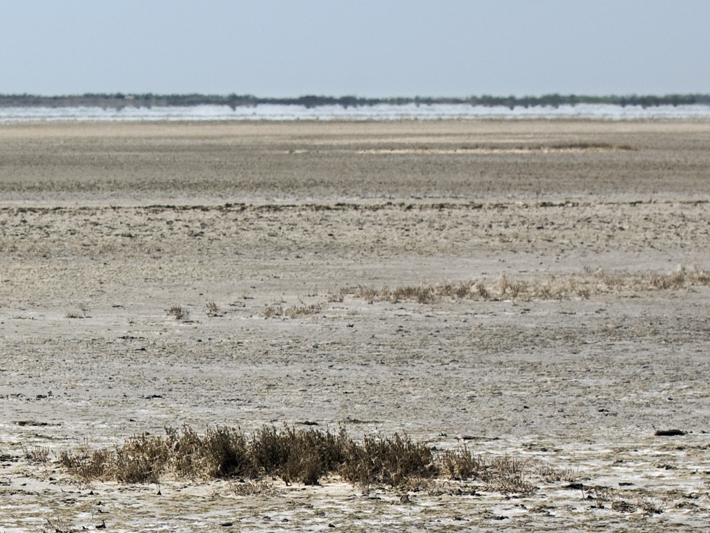
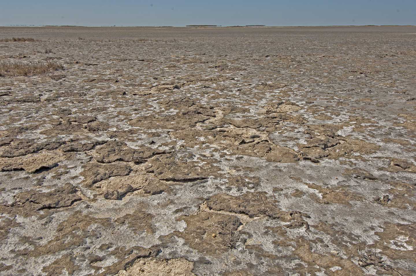
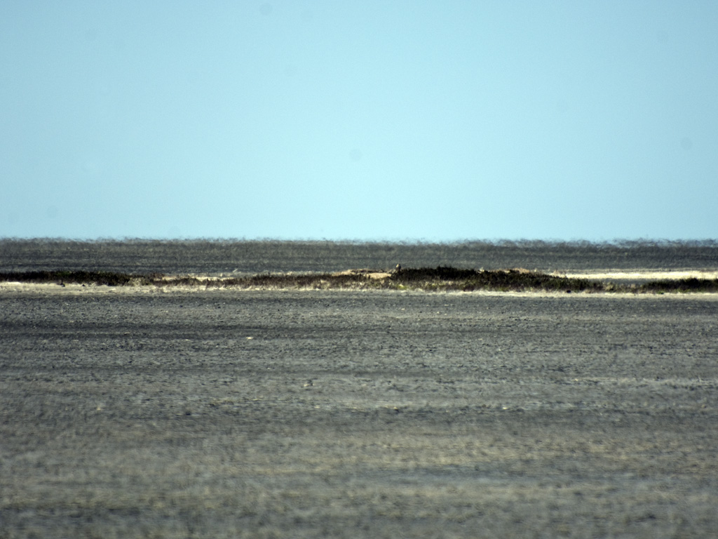
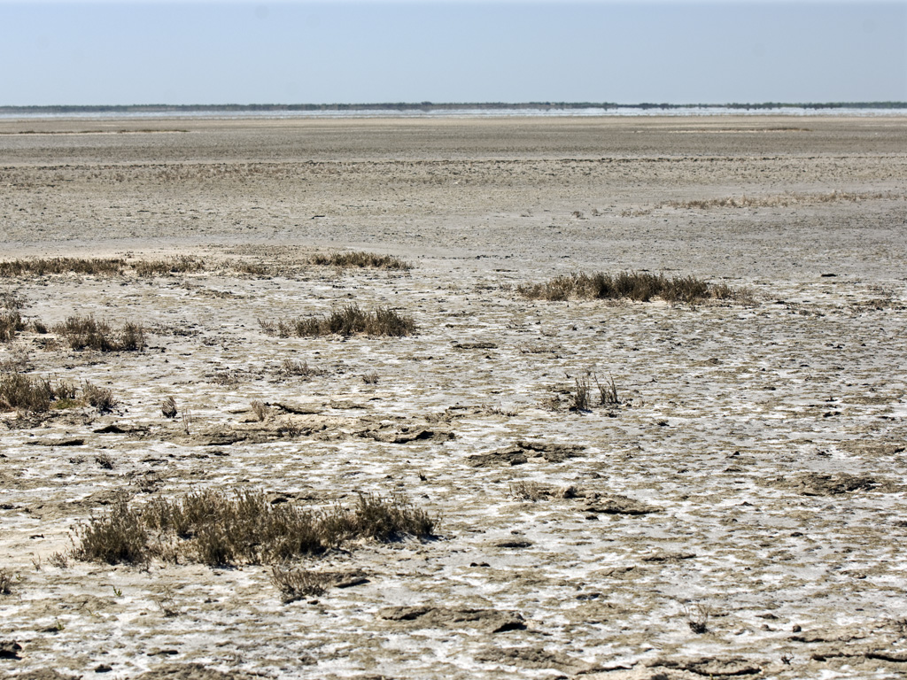
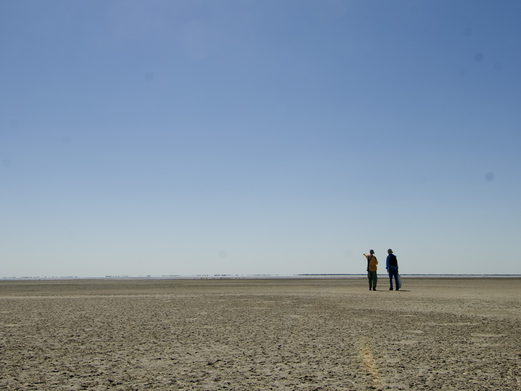
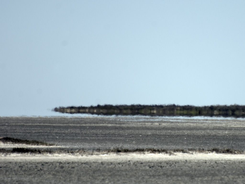
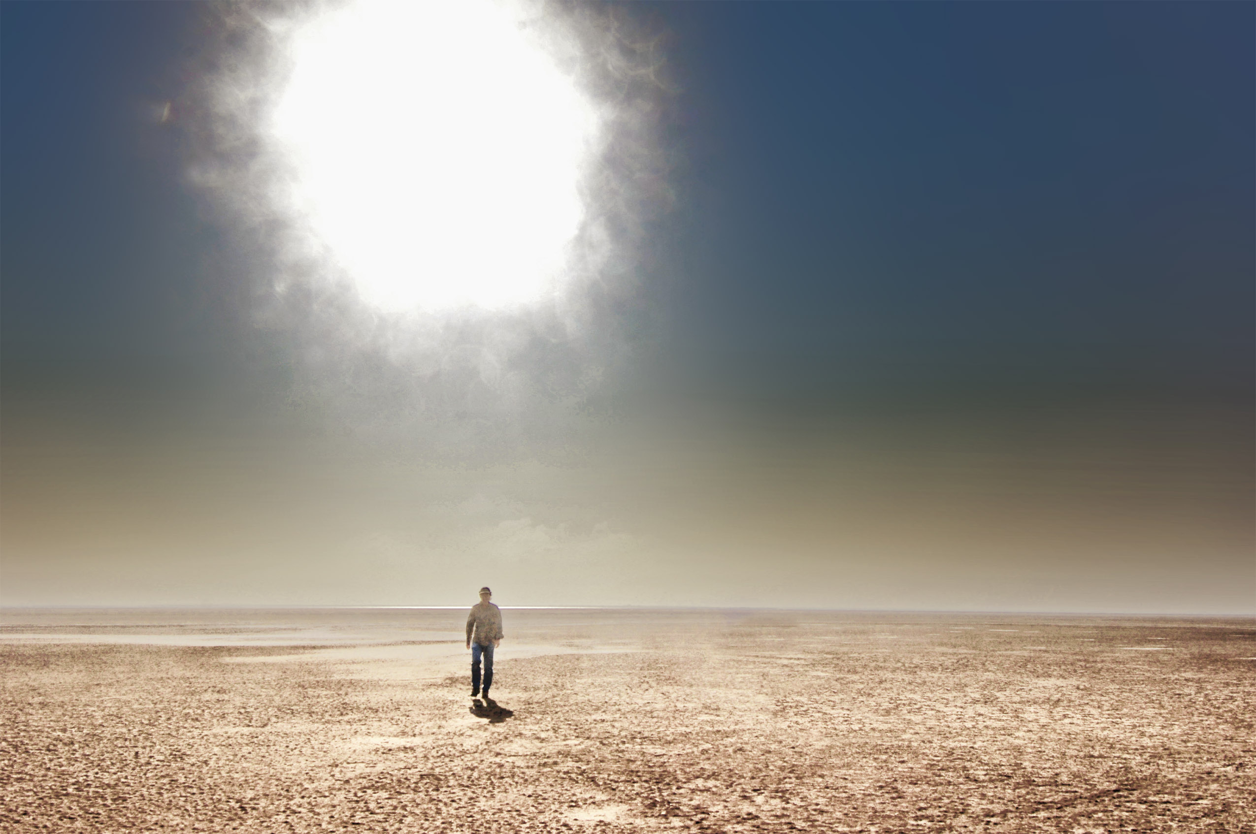
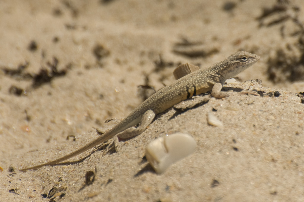
The Laguna Madre flats are a unique Texas treasure. Devoid of almost any vegetation, its elevation does not exceed inches above sea level. It is dominated by sand, mud and the occasional grass island sticking up just a few inches higher than the flats. It is mostly a very shallow, linear bay system with the most extensive mud and sand flats along the back side of Padre Island where they extend a thousand or more feet into the Laguna.
Google Maps Note: Satellite images do not reveal shallow water well at all, so the flats look much more extensive than they actually are.
There is only one pass open to the Gulf between Corpus and Brownsville so the Laguna is relatively isolated from Gulf tides. This lack of water flow also means that big rains on the mainland are slow to drain out of the Laguna.
In 2013 the flats disappeared for the first time in a long time without a tropical storm system involved. They have partially returned after the long dry summer, but only by about half.
The best place to access the flats is from a hike that starts at the Big Dune. It’s a decent half-day hike and proper sun protection gear is essential.
The Shorebird Migration
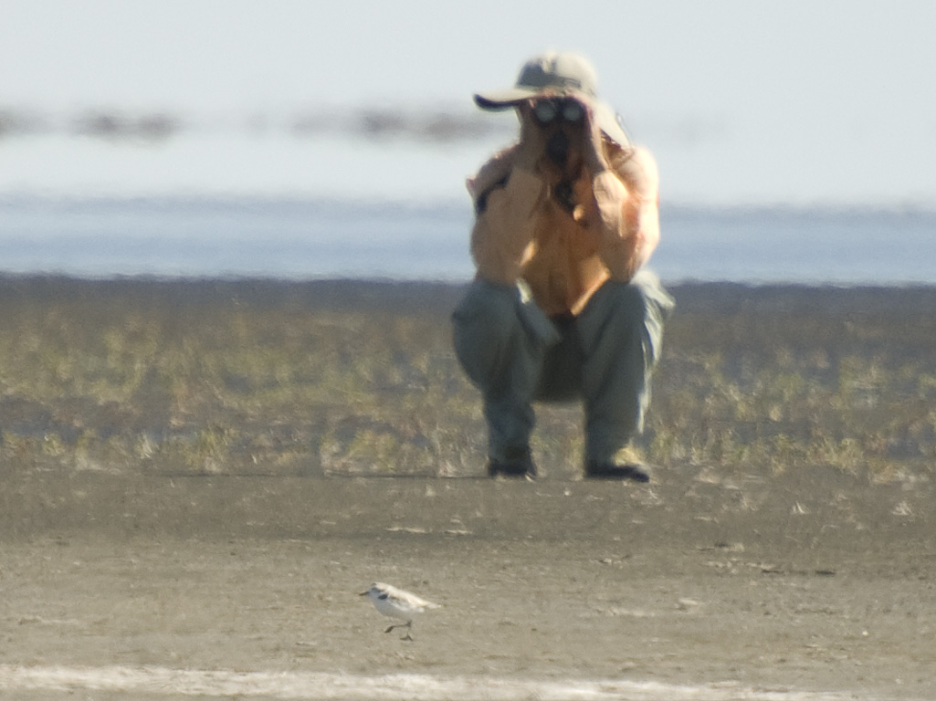
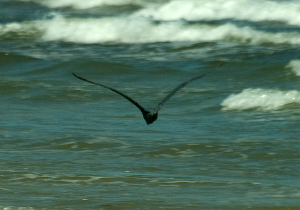
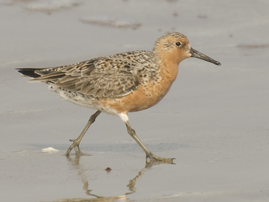
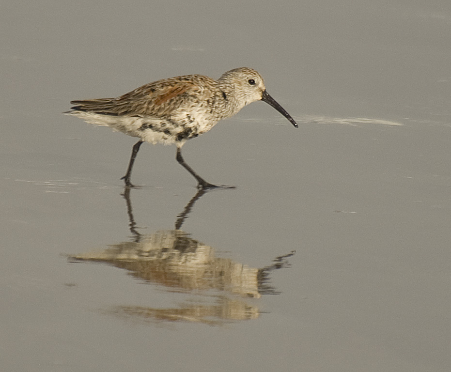
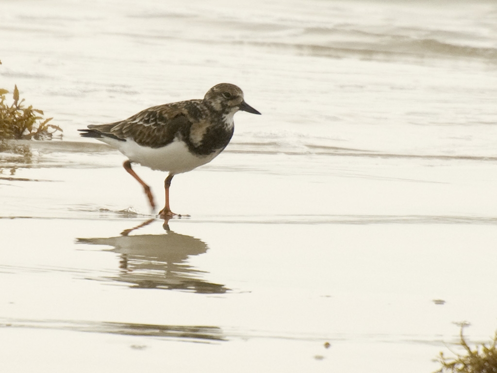
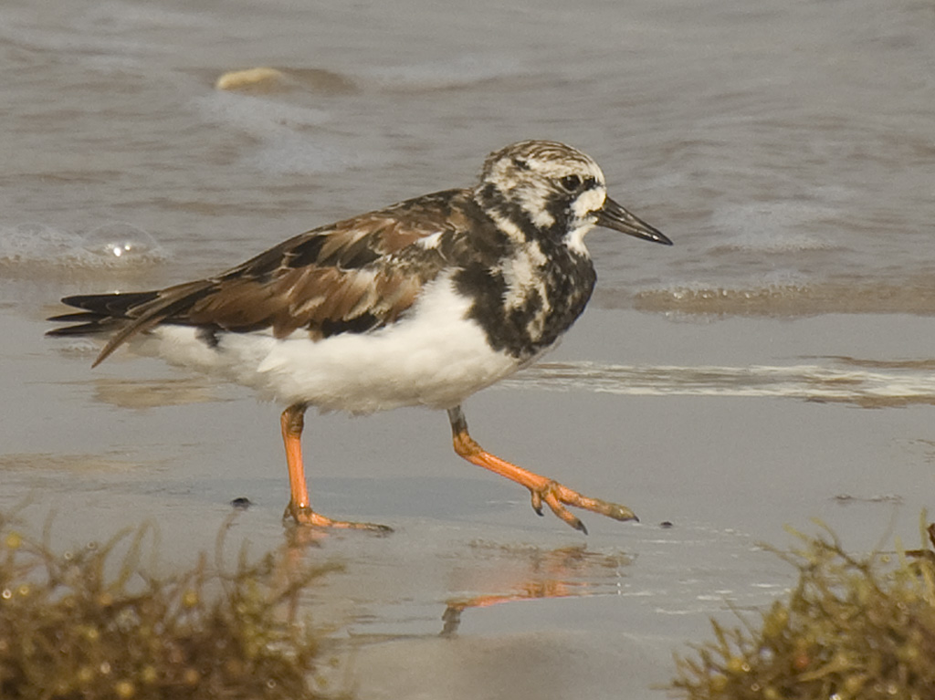
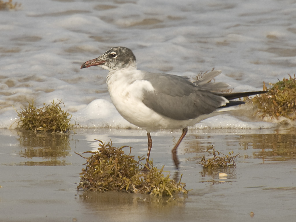
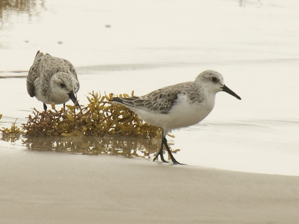
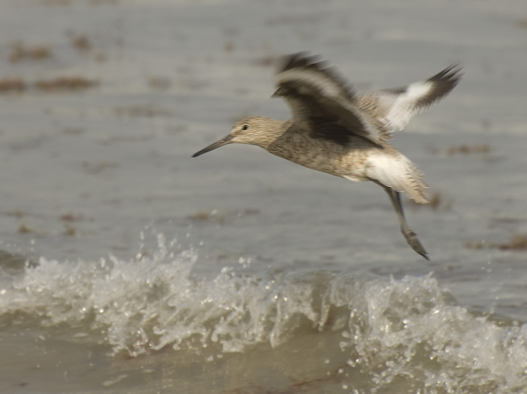
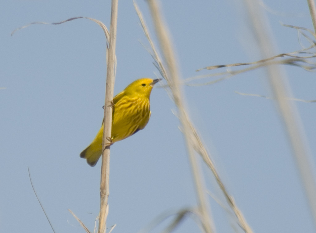
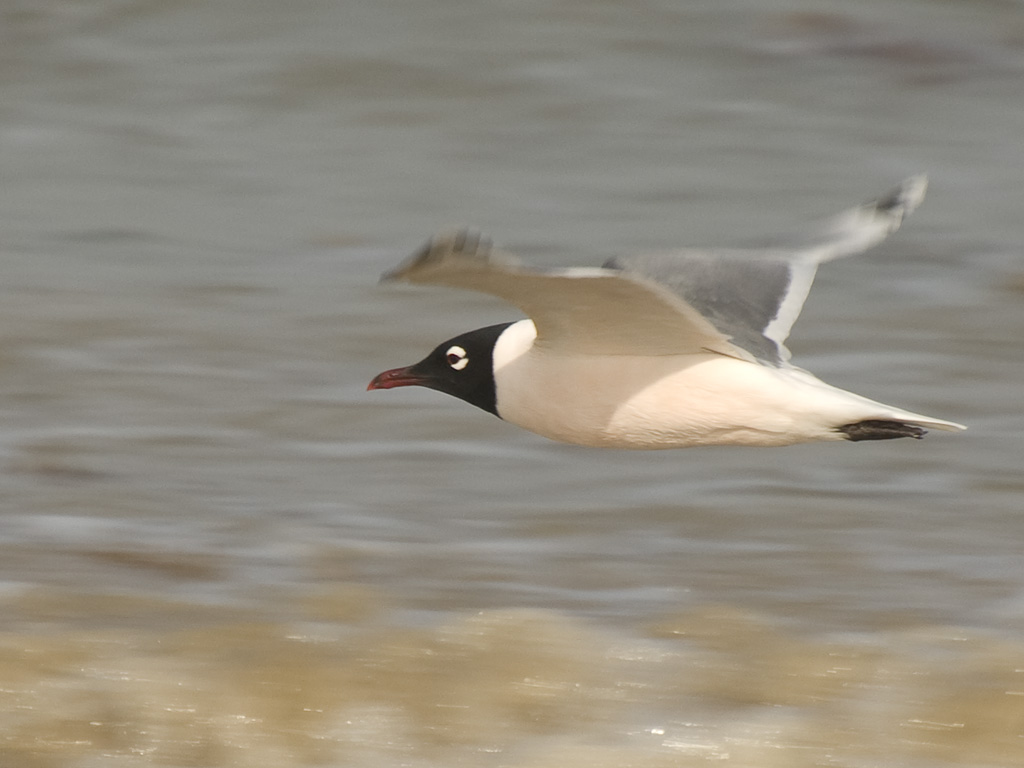
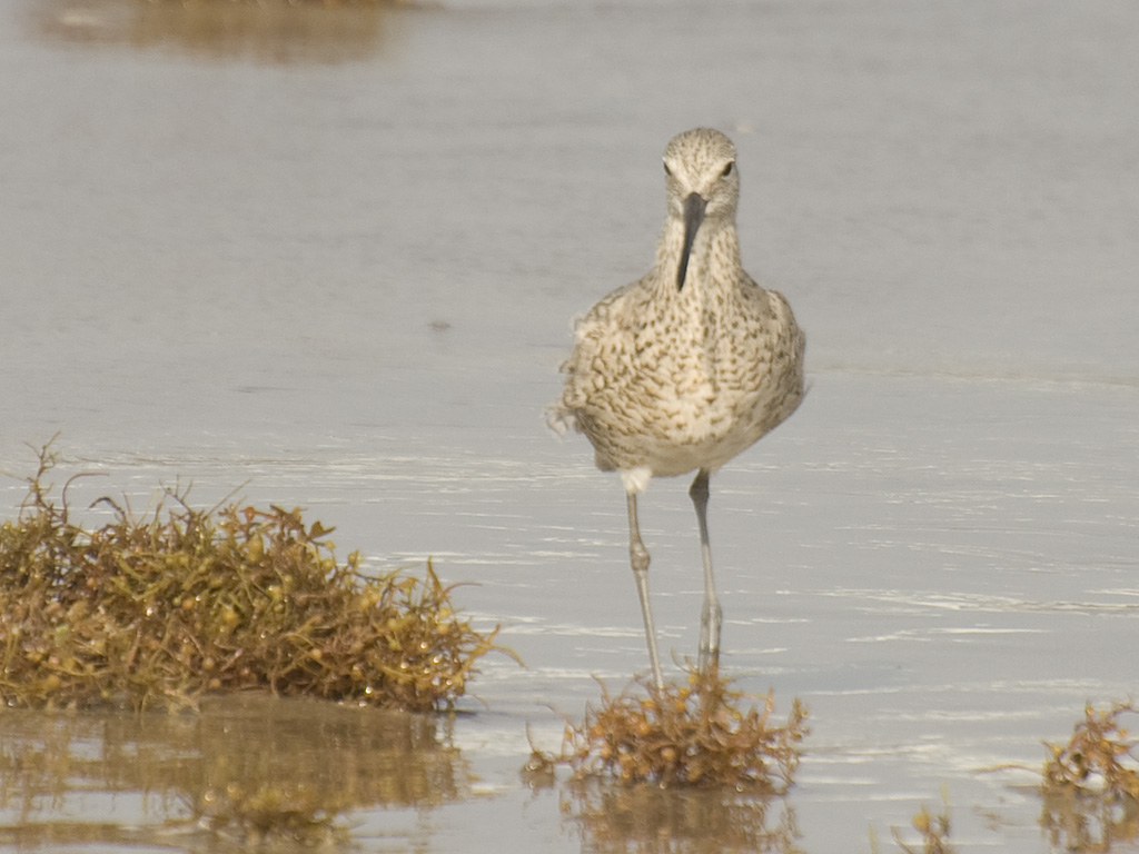
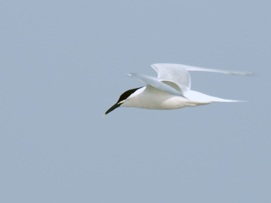
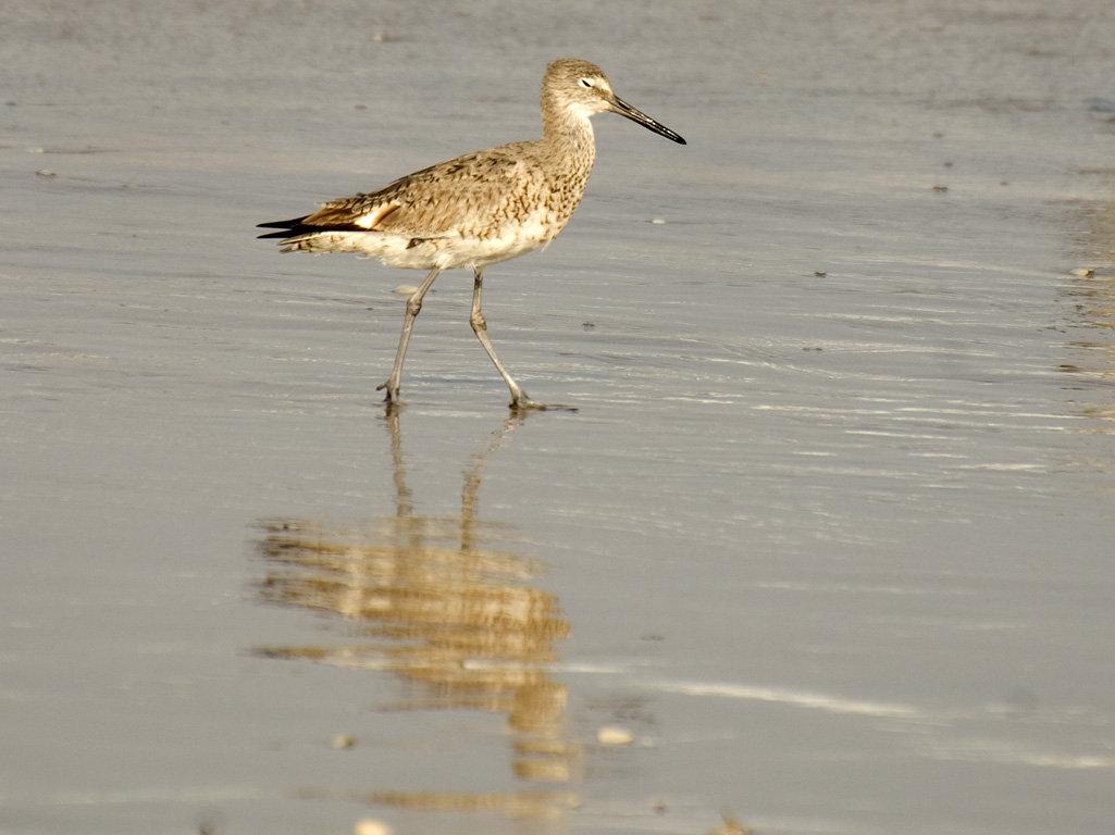
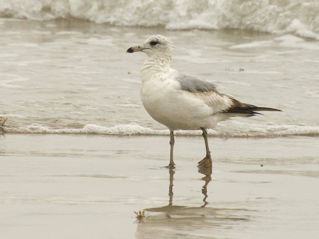
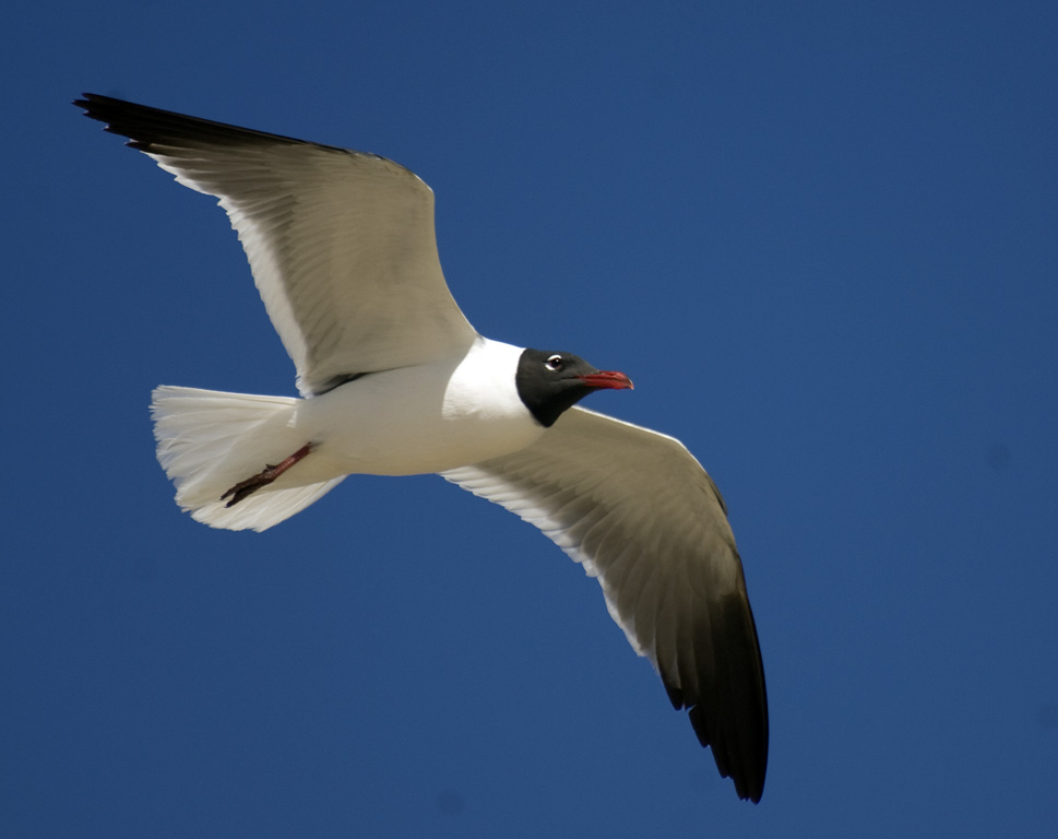
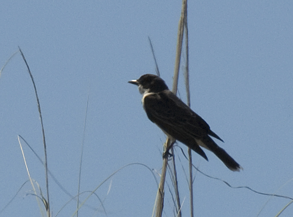
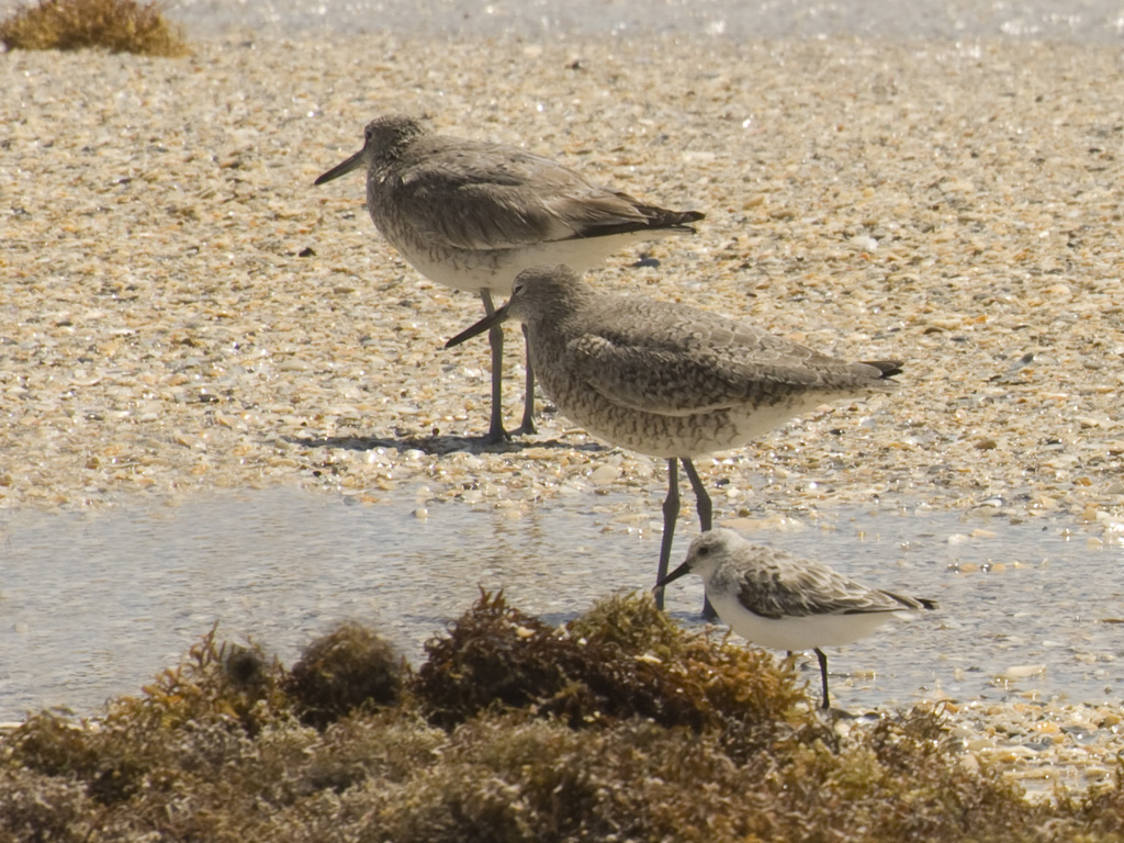
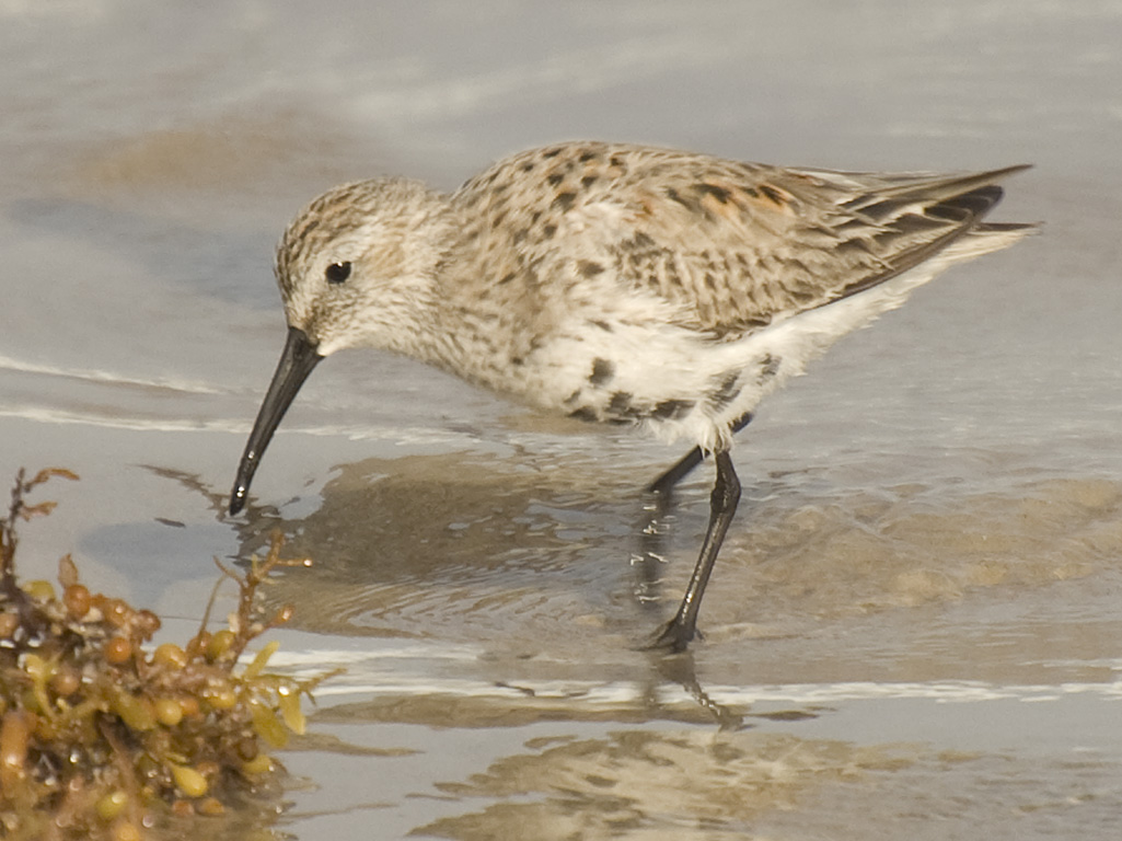
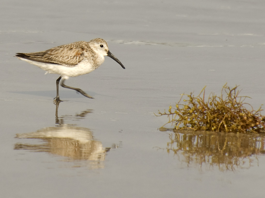
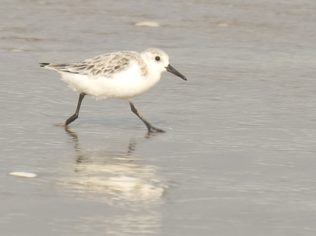
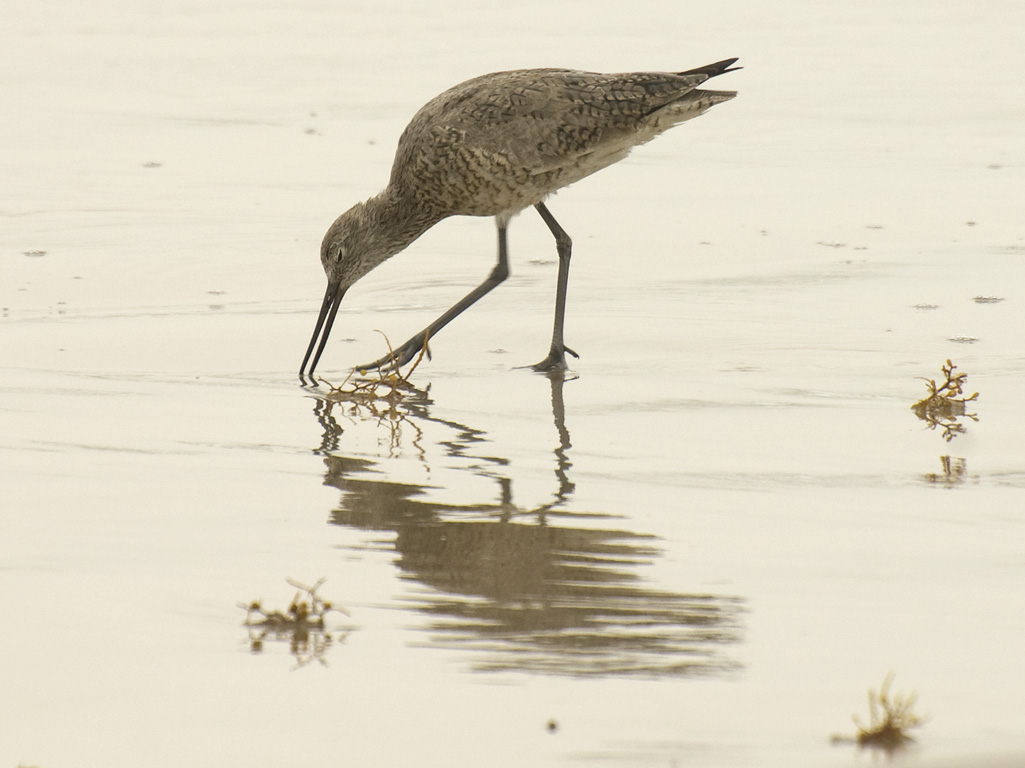
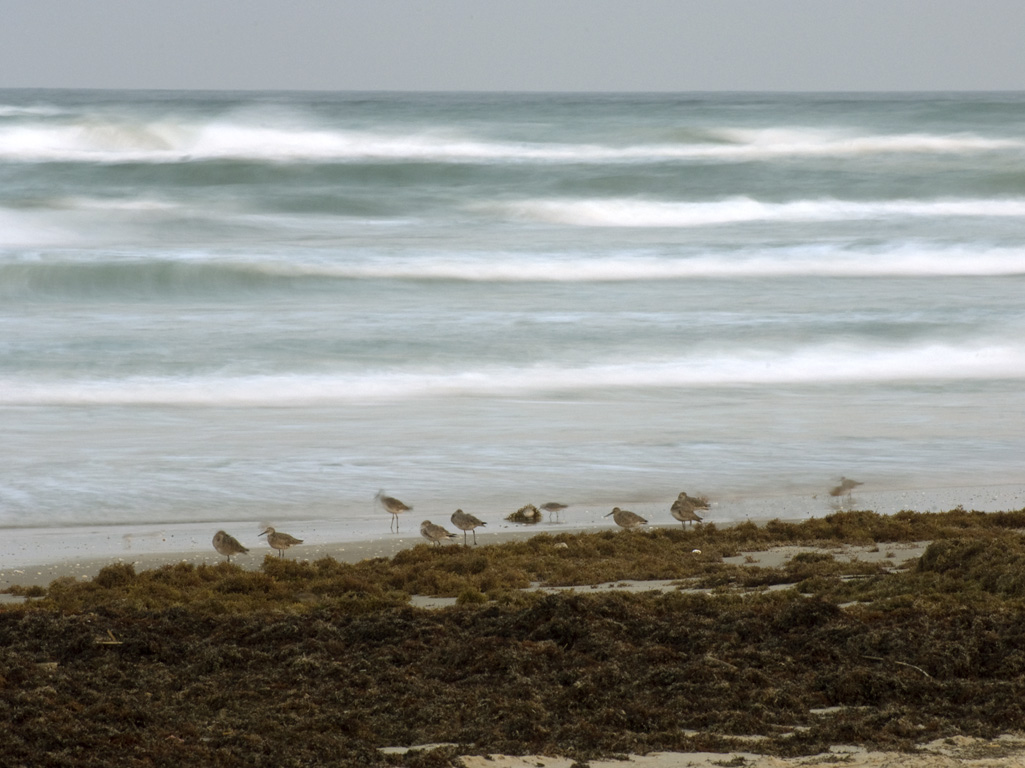
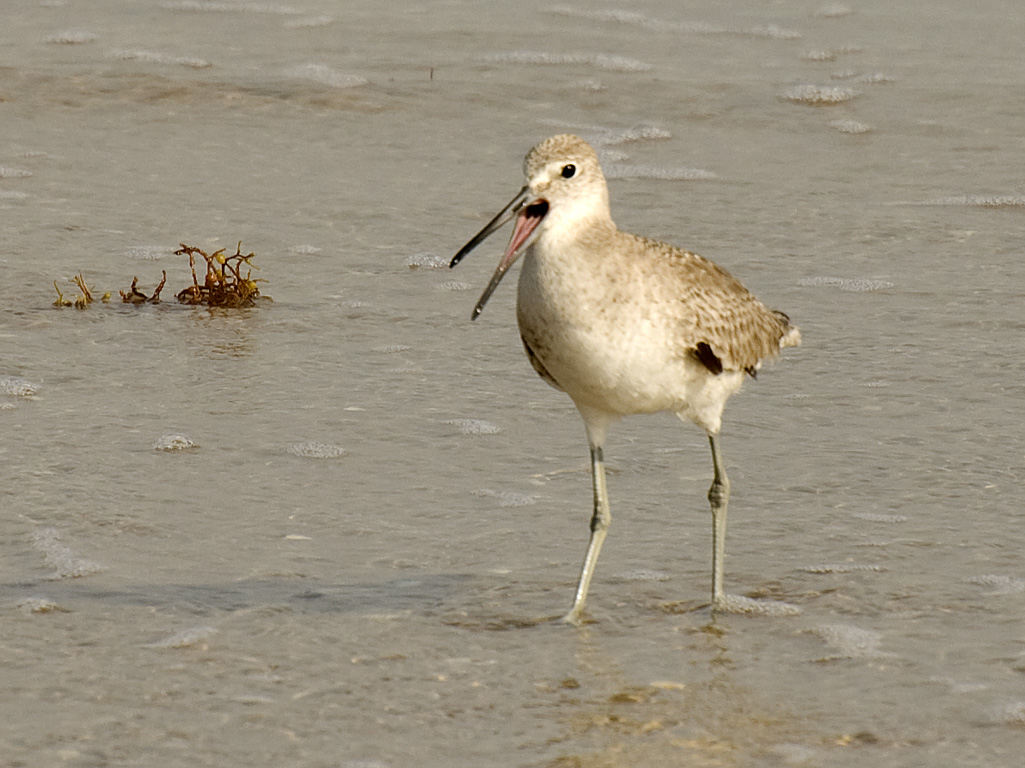
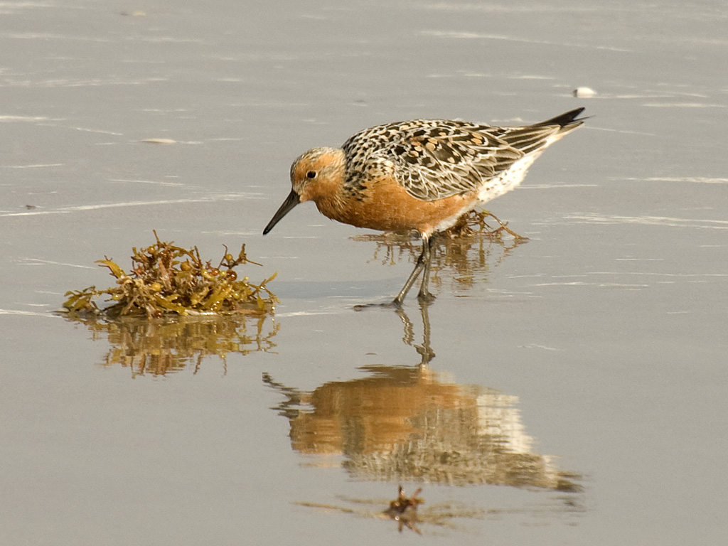
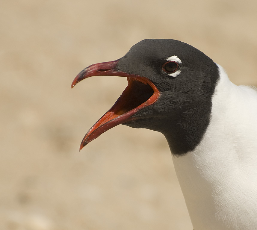
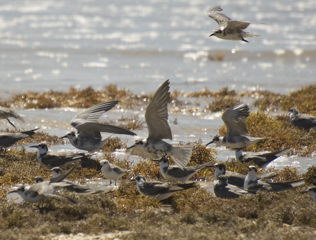
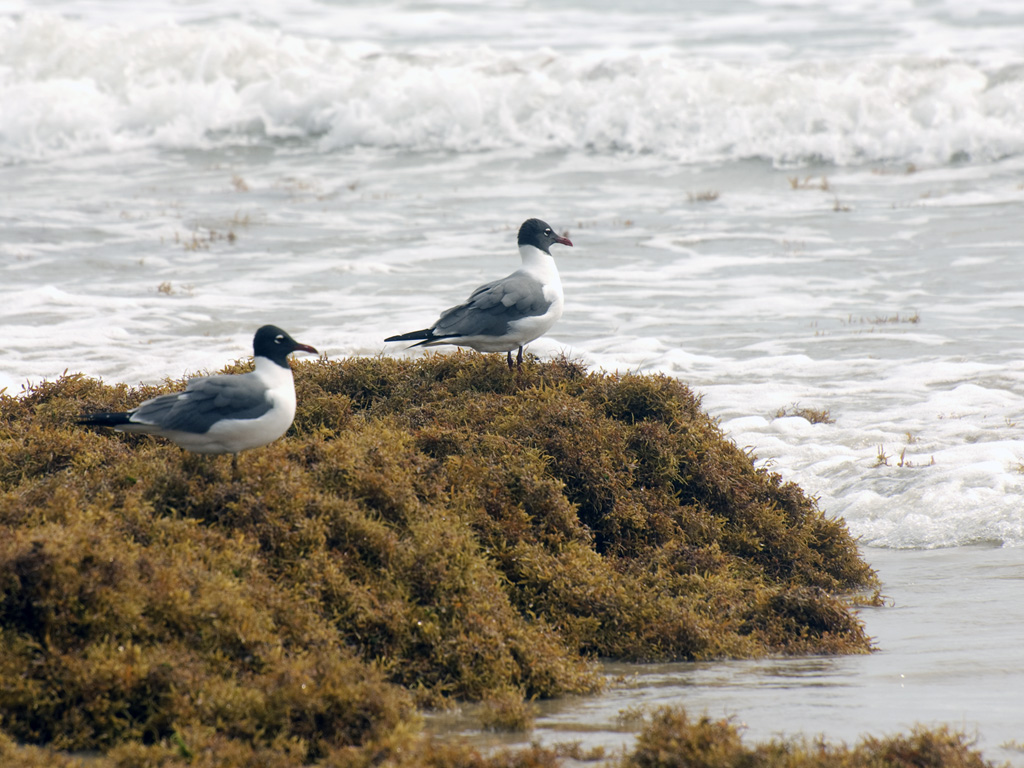
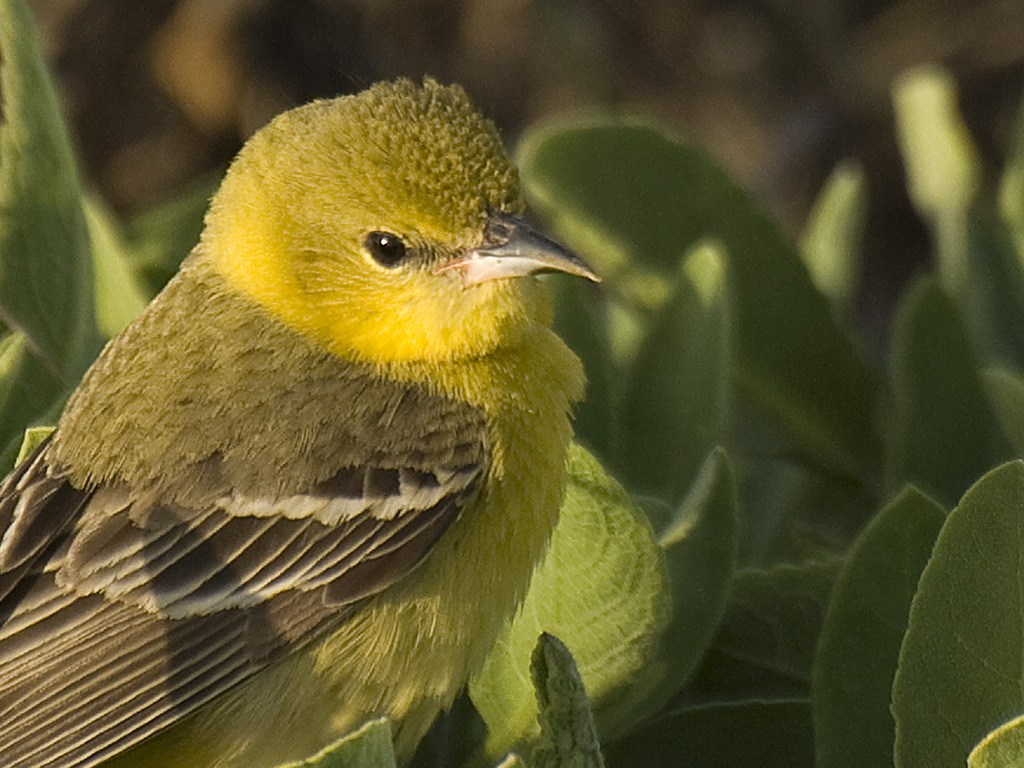
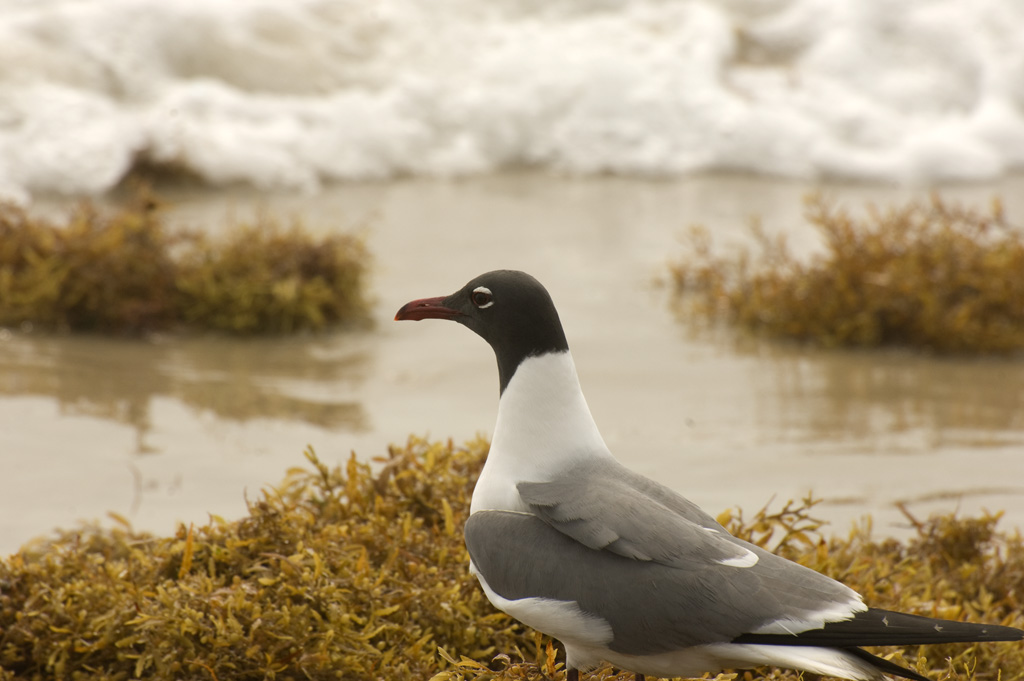
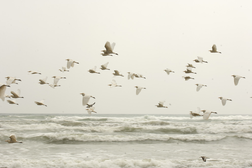
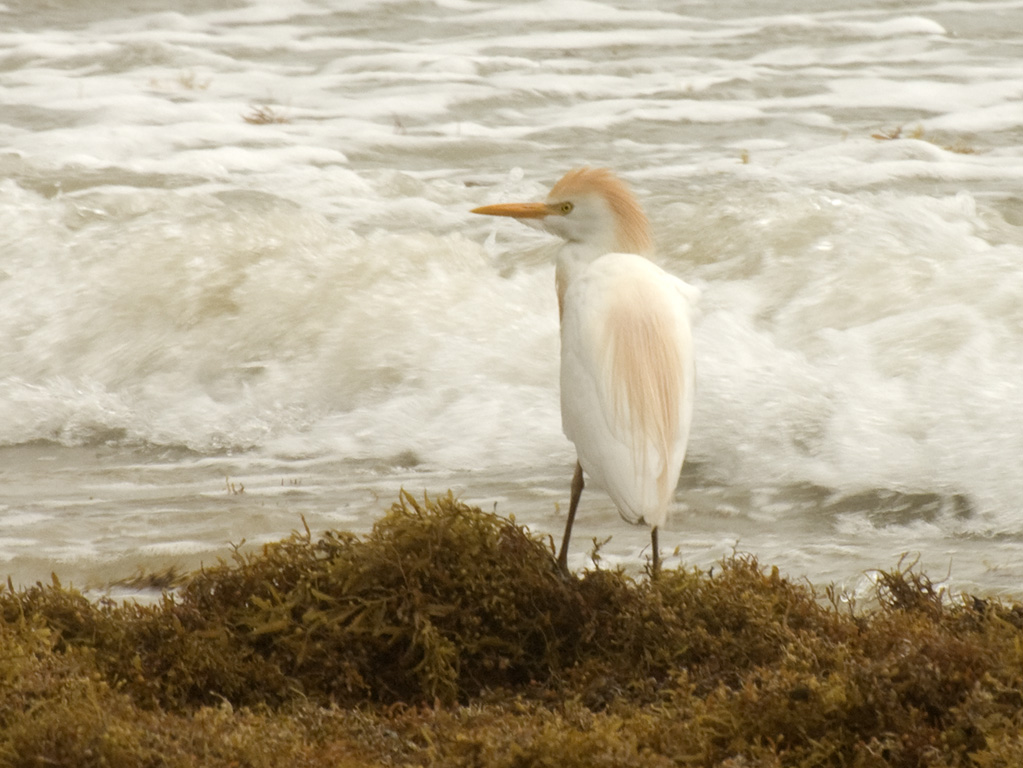
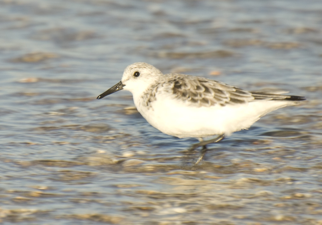
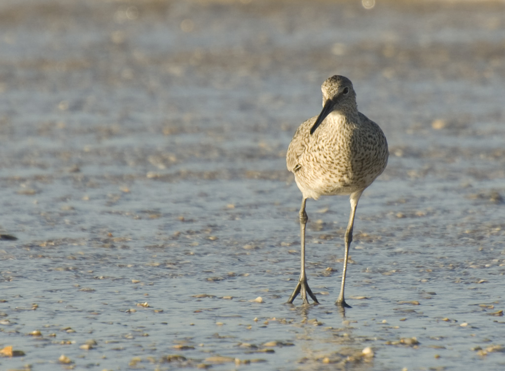
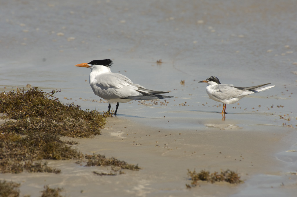
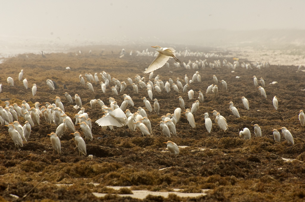
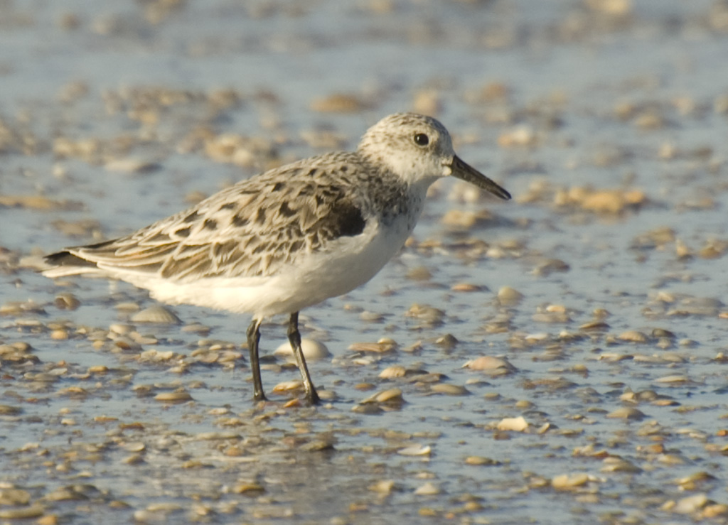
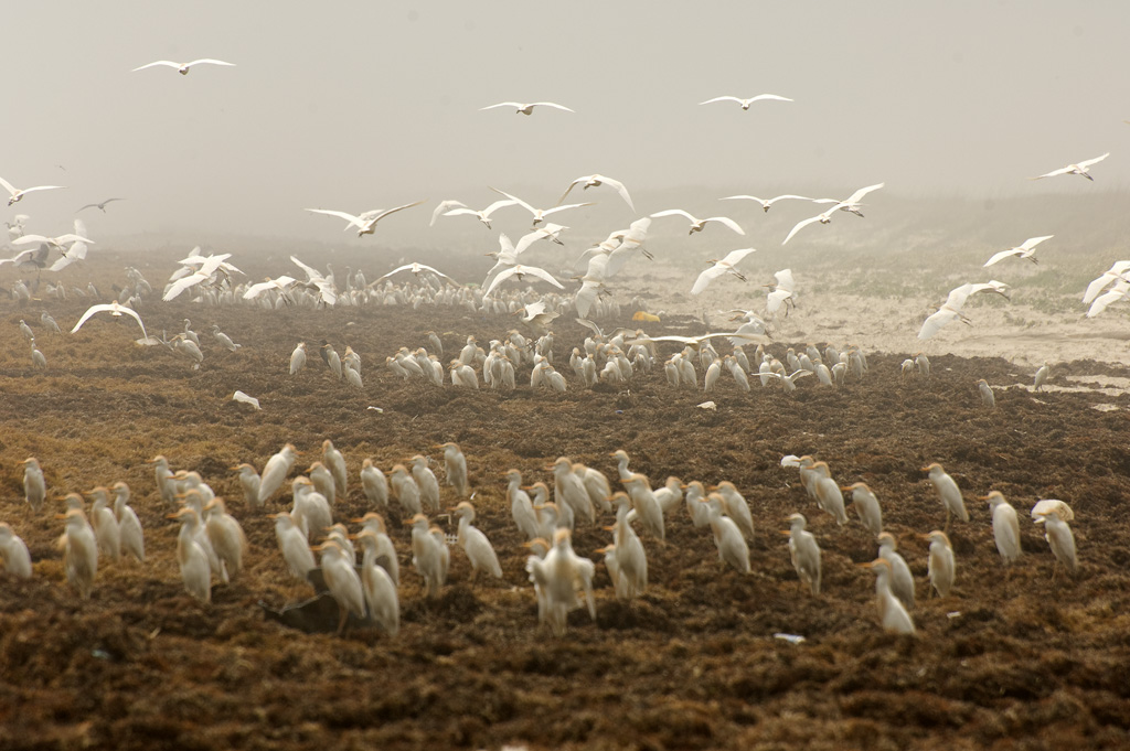
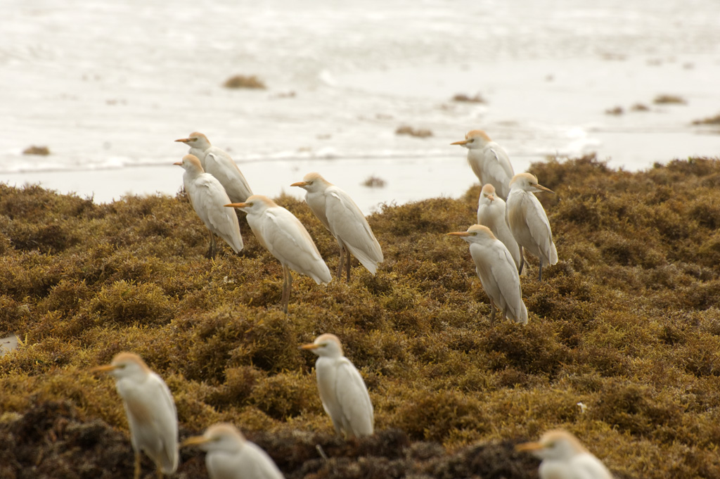
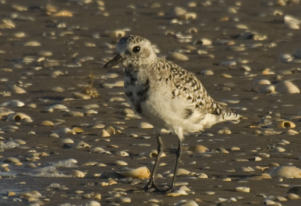
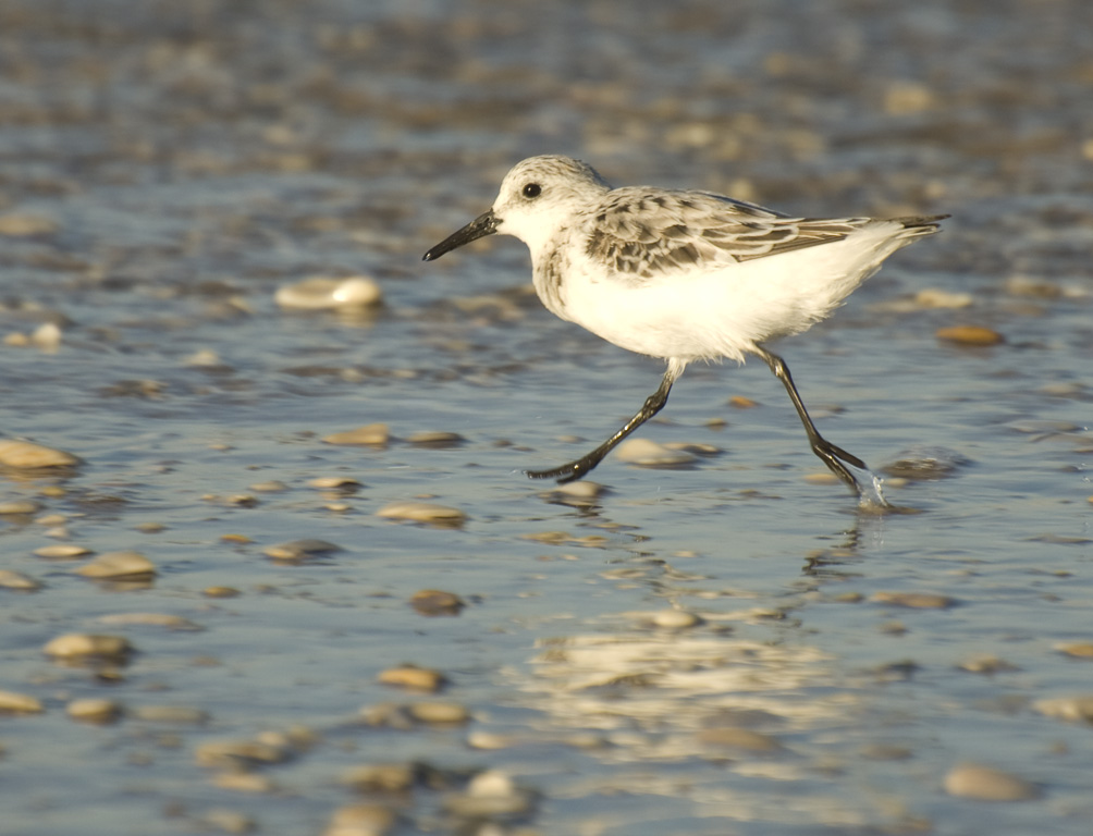
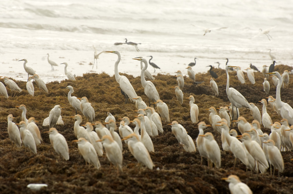
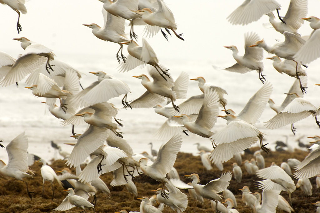
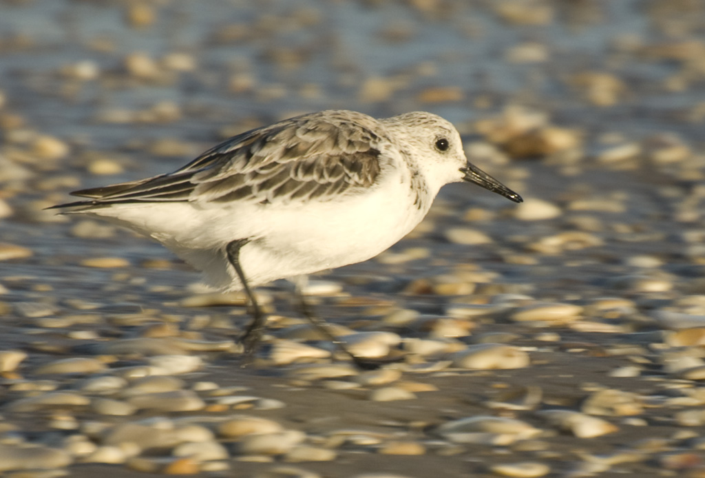
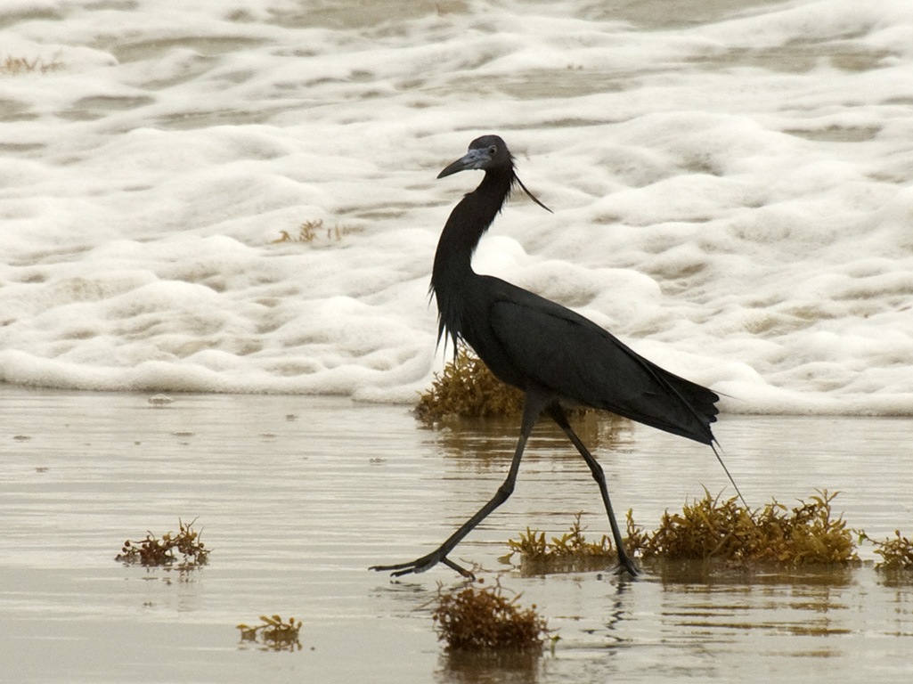
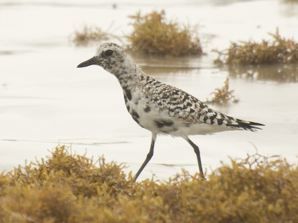
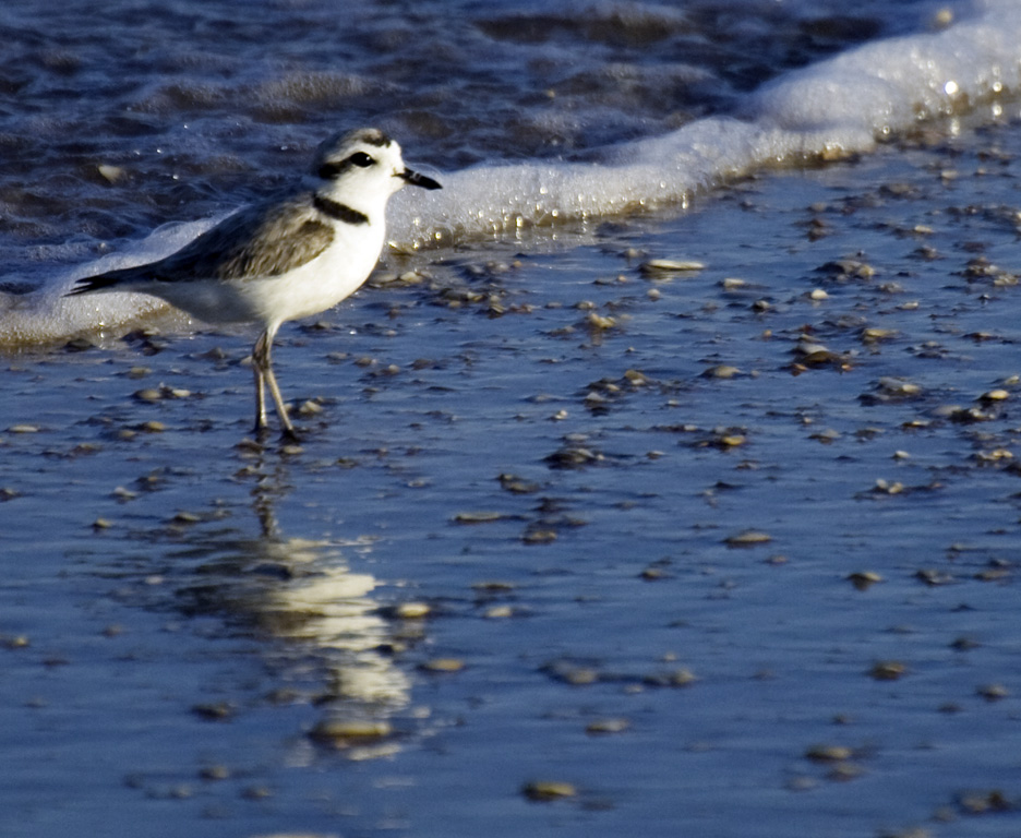
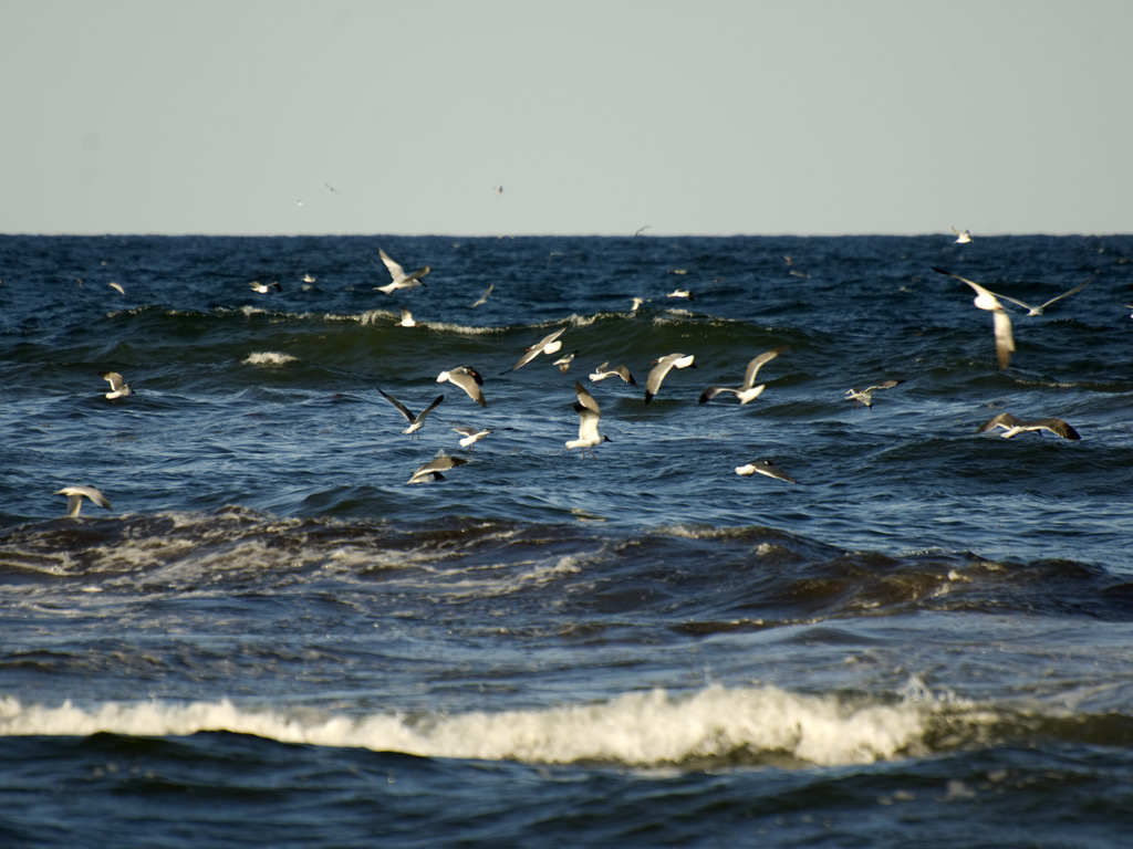
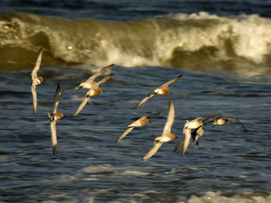
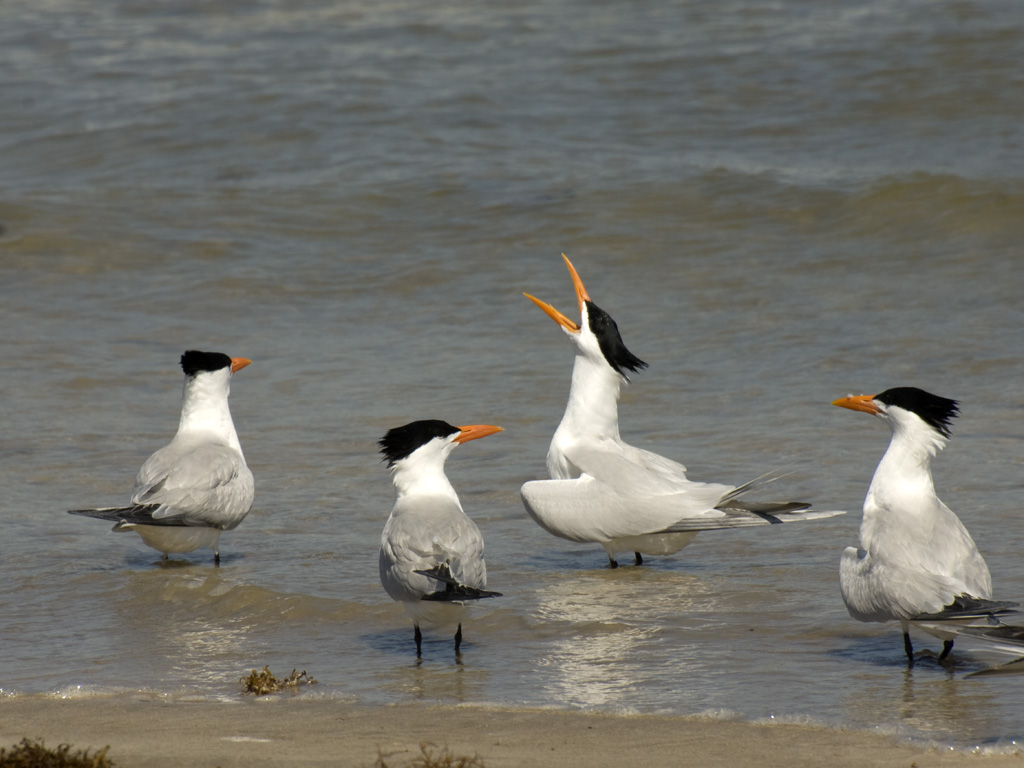
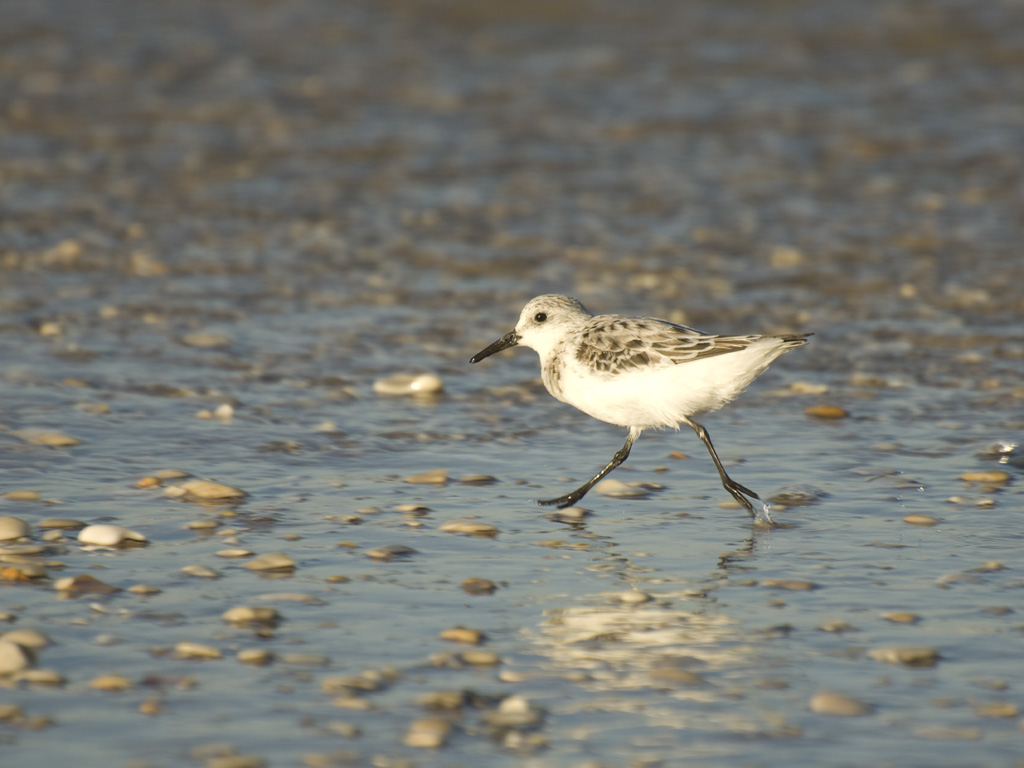
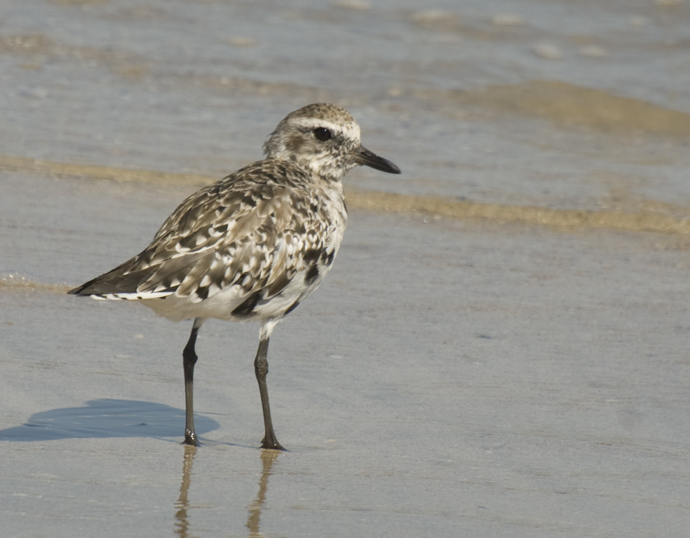
Padre Island is a blessed bird watching world. It is what is known as a migration funnel. Shorebirds and perching birds alike tend to strike the Gulf coast in their migration route and turn left of right to follow the shore break resource rich in food.
Their numbers accumulate throughout the spring and fall migration until a peak is reached in mid-April and in Mid-October. But the peak can vary by weeks, depending on the weather. Cold fronts tend to drive the birds south faster, warm weather tends to drive them north faster.
Any of our tours to Padre can be scheduled for migration season. The itinerary varies little for birding, except we will take even more time stopping to looks at the variety.
Timing is tricky though. This October 10, there were hardly any birds on PINS, but last October 18th, there were literally millions. Some years the peak never happens.
To assure we visit during peak, we can schedule last minute trips if the time slots are available. The risk of cancellation is higher because of any number of factors both from the Client side and from our side.
But if we hit the mark, the results are beyond belief.
